Distance to Dorton, Kentucky

Calculating Your Route
Just a moment while we process your request...
Location Information
-
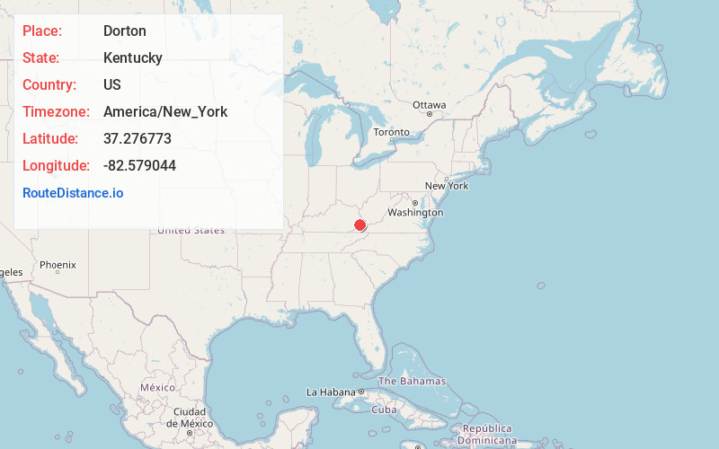
Full AddressDorton, KY 41537
-
Coordinates37.2767726, -82.5790436
-
LocationDorton , Kentucky , US
-
TimezoneAmerica/New_York
-
Current Local Time11:09:42 AM America/New_YorkTuesday, July 1, 2025
-
Page Views0
About Dorton
Dorton is an unincorporated community and coal town in southern Pike County, Kentucky, United States. Located along U.S. Route 23, also known as Country Music Highway. It is centered at the confluence of Dorton and Shelby Creeks and the junction of U.S. 23 and KY 610, 13 miles south of Pikeville.


Nearby Places
Found 10 places within 50 miles

Elimer
2.0 mi
3.2 km
Elimer, KY 41537
Get directions
Lionilli
2.1 mi
3.4 km
Lionilli, KY 41537
Get directions
Lick Fork
2.5 mi
4.0 km
Lick Fork, KY 41537
Get directions
Jonancy
2.8 mi
4.5 km
Jonancy, KY 41501
Get directions
Ellwood
3.3 mi
5.3 km
Ellwood, KY 41572
Get directions
Beefhide
3.7 mi
6.0 km
Beefhide, KY 41537
Get directions
Hartley
3.8 mi
6.1 km
Hartley, KY 41572
Get directions

Virgie
4.0 mi
6.4 km
Virgie, KY 41572
Get directions
Hylton
4.4 mi
7.1 km
Hylton, KY 41563
Get directions
Etty
5.1 mi
8.2 km
Etty, KY 41572
Get directions
Location Links
Local Weather
Weather Information
Coming soon!
Location Map
Static map view of Dorton, Kentucky
Browse Places by Distance
Places within specific distances from Dorton
Short Distances
Long Distances
Click any distance to see all places within that range from Dorton. Distances shown in miles (1 mile ≈ 1.61 kilometers).