Distance to Jonancy, Kentucky

Calculating Your Route
Just a moment while we process your request...
Location Information
-
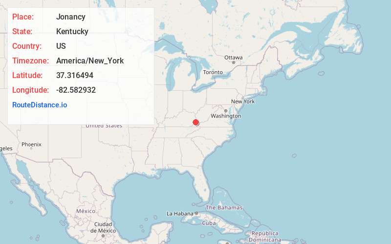
Full AddressJonancy, KY 41501
-
Coordinates37.3164937, -82.5829323
-
LocationJonancy , Kentucky , US
-
TimezoneAmerica/New_York
-
Current Local Time5:06:11 PM America/New_YorkWednesday, June 18, 2025
-
Page Views0
About Jonancy
Jonancy is a small unincorporated community and coal town in Pike County, Kentucky, United States, in the far eastern part of the state. The latitude and longitude are 37.316N and -82.583W. Jonancy is in the Eastern Coal Field region. The community is in the Eastern time zone.
Nearby Places
Found 10 places within 50 miles

Virgie
1.3 mi
2.1 km
Virgie, KY 41572
Get directions

Douglas
4.9 mi
7.9 km
Douglas, KY 41501
Get directions
Etty
6.2 mi
10.0 km
Etty, KY 41572
Get directions

Wheelwright
7.7 mi
12.4 km
Wheelwright, KY
Get directions
Ashcamp
8.8 mi
14.2 km
Ashcamp, KY 41522
Get directions
McRoberts
9.0 mi
14.5 km
McRoberts, KY
Get directions
Kewanee
9.5 mi
15.3 km
Kewanee, KY 41501
Get directions

Jenkins
10.2 mi
16.4 km
Jenkins, KY
Get directions
Ramsey Flats
10.6 mi
17.1 km
Ramsey Flats, VA 24228
Get directions
Fleming-Neon
10.9 mi
17.5 km
Fleming-Neon, KY
Get directions
Location Links
Local Weather
Weather Information
Coming soon!
Location Map
Static map view of Jonancy, Kentucky
Browse Places by Distance
Places within specific distances from Jonancy
Short Distances
Long Distances
Click any distance to see all places within that range from Jonancy. Distances shown in miles (1 mile ≈ 1.61 kilometers).