Distance to Dosaga, Georgia

Calculating Your Route
Just a moment while we process your request...
Location Information
-
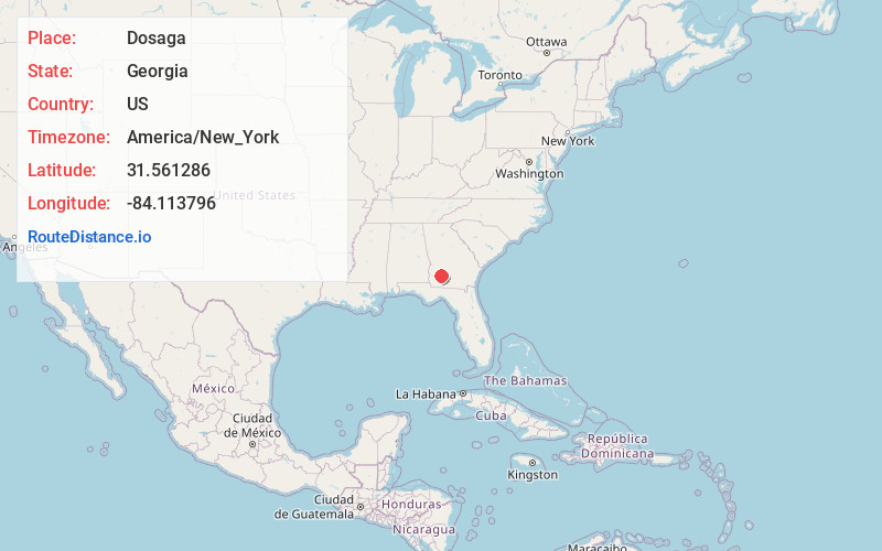
Full AddressDosaga, GA 31705
-
Coordinates31.5612859, -84.1137956
-
LocationGeorgia , US
-
TimezoneAmerica/New_York
-
Current Local Time10:45:55 AM America/New_YorkTuesday, June 3, 2025
-
Page Views0
Nearby Places
Found 10 places within 50 miles

Rio Vista
1.6 mi
2.6 km
Rio Vista, Albany, GA 31705
Get directions

Albany
2.5 mi
4.0 km
Albany, GA
Get directions

Putney
6.3 mi
10.1 km
Putney, GA 31705
Get directions
Stocks
6.6 mi
10.6 km
Stocks, GA 31763
Get directions
Dougherty County
6.8 mi
10.9 km
Dougherty County, GA
Get directions
Palmyra
7.1 mi
11.4 km
Palmyra, GA 31763
Get directions
East Dougherty
7.8 mi
12.6 km
East Dougherty, GA 31705
Get directions
River Bend
8.2 mi
13.2 km
River Bend, Putney, GA 31705
Get directions
Chehaw
10.8 mi
17.4 km
Chehaw, GA 31763
Get directions
Byne Crossroads
11.3 mi
18.2 km
Byne Crossroads, GA 31763
Get directions
Location Links
Local Weather
Weather Information
Coming soon!
Location Map
Static map view of Dosaga, Georgia
Browse Places by Distance
Places within specific distances from Dosaga
Short Distances
Long Distances
Click any distance to see all places within that range from Dosaga. Distances shown in miles (1 mile ≈ 1.61 kilometers).