Distance to Draughn, North Carolina

Calculating Your Route
Just a moment while we process your request...
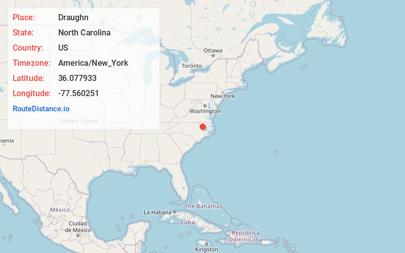
Location Information
-
Full AddressDraughn, NC 27886
-
Coordinates36.077933, -77.5602506
-
LocationNorth Carolina , US
-
TimezoneAmerica/New_York
-
Current Local Time5:43:32 PM America/New_YorkTuesday, June 17, 2025
-
Page Views0
Nearby Places
Found 10 places within 50 miles

Roseneath
4.6 mi
7.4 km
Roseneath, NC 27874
Get directions
Mullins Crossroads
5.2 mi
8.4 km
Mullins Crossroads, NC 27874
Get directions
Gethsemane
5.4 mi
8.7 km
Gethsemane, NC 27809
Get directions
Lawrence
5.6 mi
9.0 km
Lawrence, NC 27886
Get directions
Leggett
6.1 mi
9.8 km
Leggett, NC 27886
Get directions
Wrendale
7.9 mi
12.7 km
Wrendale, NC 27809
Get directions
Cherry Crossroads
8.2 mi
13.2 km
Cherry Crossroads, NC 27809
Get directions

Scotland Neck
8.6 mi
13.8 km
Scotland Neck, NC 27874
Get directions
Whitakers
8.7 mi
14.0 km
Whitakers, NC 27891
Get directions

Enfield
9.3 mi
15.0 km
Enfield, NC 27823
Get directions
Location Links
Local Weather
Weather Information
Coming soon!
Location Map
Static map view of Draughn, North Carolina
Browse Places by Distance
Places within specific distances from Draughn
Short Distances
Long Distances
Click any distance to see all places within that range from Draughn. Distances shown in miles (1 mile ≈ 1.61 kilometers).