Distance to Drayden, Maryland

Calculating Your Route
Just a moment while we process your request...
Location Information
-
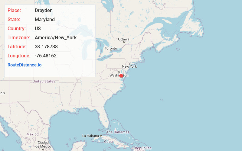
Full AddressDrayden, MD 20692
-
Coordinates38.1787376, -76.48162
-
LocationDrayden , Maryland , US
-
TimezoneAmerica/New_York
-
Current Local Time8:46:59 PM America/New_YorkWednesday, June 4, 2025
-
Page Views0
About Drayden
Drayden is an unincorporated community in St. Mary's County, Maryland, United States. West St. Mary's Manor was listed on the National Register of Historic Places in 1970. Porto Bello was listed in 1972.
The Drayden Schoolhouse was a small, one-room African American children's school featuring grades 1–7.
Nearby Places
Found 10 places within 50 miles

Piney Point
2.8 mi
4.5 km
Piney Point, MD
Get directions

Tall Timbers
3.5 mi
5.6 km
Tall Timbers, MD
Get directions

McKay Beach
3.8 mi
6.1 km
McKay Beach, MD 20650
Get directions

Callaway
4.6 mi
7.4 km
Callaway, MD
Get directions

California
8.5 mi
13.7 km
California, MD
Get directions
Wildewood
8.8 mi
14.2 km
Wildewood, MD
Get directions

Solomons
9.8 mi
15.8 km
Solomons, MD
Get directions

Drum Point
10.7 mi
17.2 km
Drum Point, MD 20657
Get directions

Leonardtown
11.4 mi
18.3 km
Leonardtown, MD 20650
Get directions

Lusby
12.6 mi
20.3 km
Lusby, MD 20657
Get directions
Location Links
Local Weather
Weather Information
Coming soon!
Location Map
Static map view of Drayden, Maryland
Browse Places by Distance
Places within specific distances from Drayden
Short Distances
Long Distances
Click any distance to see all places within that range from Drayden. Distances shown in miles (1 mile ≈ 1.61 kilometers).