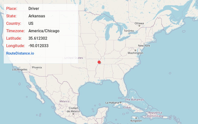
Distance to Driver, Arkansas

Calculating Your Route
Just a moment while we process your request...
Location Information
-
Full AddressDriver, AR 72395
-
Coordinates35.6123019, -90.0120333
-
LocationDriver , Arkansas , US
-
TimezoneAmerica/Chicago
-
Current Local Time9:52:11 PM America/ChicagoSunday, June 22, 2025
-
Page Views0
About Driver
Driver is an unincorporated community in Mississippi County, Arkansas, United States. Driver is located at the intersection of U.S. Route 61 and Arkansas Highway 119, 3.5 miles north-northeast of Wilson.
Nearby Places
Found 10 places within 50 miles

Wilson
3.6 mi
5.8 km
Wilson, AR 72395
Get directions

Marie
3.9 mi
6.3 km
Marie, AR
Get directions
Butler
4.1 mi
6.6 km
Butler, AR 72395
Get directions
Spur Four
4.3 mi
6.9 km
Spur Four, AR 72370
Get directions
Golden Lake
5.0 mi
8.0 km
Golden Lake, AR 72350
Get directions
Hilton
5.0 mi
8.0 km
Hilton, AR 72370
Get directions
Nodena
5.2 mi
8.4 km
Nodena, AR 72395
Get directions
Delpro
5.8 mi
9.3 km
Delpro, AR 72395
Get directions

Keiser
6.5 mi
10.5 km
Keiser, AR
Get directions

Osceola
6.7 mi
10.8 km
Osceola, AR 72370
Get directions
Location Links
Local Weather
Weather Information
Coming soon!
Location Map
Static map view of Driver, Arkansas
Browse Places by Distance
Places within specific distances from Driver
Short Distances
Long Distances
Click any distance to see all places within that range from Driver. Distances shown in miles (1 mile ≈ 1.61 kilometers).