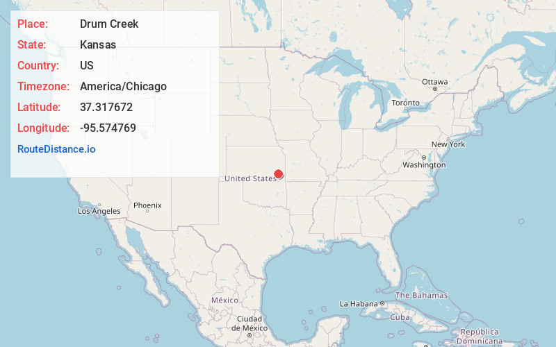
Distance to Drum Creek, Kansas

Calculating Your Route
Just a moment while we process your request...
Location Information
-
Full AddressDrum Creek, Kansas
-
Coordinates37.317672, -95.5747694
-
LocationKansas , US
-
TimezoneAmerica/Chicago
-
Current Local Time9:08:31 AM America/ChicagoSaturday, June 21, 2025
-
Page Views0

Nearby Places
Found 10 places within 50 miles

Cherryvale
3.5 mi
5.6 km
Cherryvale, KS 67335
Get directions

Brooks
4.9 mi
7.9 km
Brooks, Newark Township, KS 66757
Get directions
Morehead
5.9 mi
9.5 km
Morehead, KS 66776
Get directions

Sycamore
7.8 mi
12.6 km
Sycamore, KS
Get directions

Neodesha
9.1 mi
14.6 km
Neodesha, KS 66757
Get directions
Dennis
9.1 mi
14.6 km
Dennis, KS
Get directions

Independence
9.8 mi
15.8 km
Independence, KS 67301
Get directions
Le Hunt
10.3 mi
16.6 km
Le Hunt, Sycamore Township, KS 67301
Get directions
Hilford
10.7 mi
17.2 km
Hilford, KS 66757
Get directions
Fruitland
10.8 mi
17.4 km
Fruitland, Independence Township, KS 67301
Get directions
Location Links
Local Weather
Weather Information
Coming soon!
Location Map
Static map view of Drum Creek, Kansas
Browse Places by Distance
Places within specific distances from Drum Creek
Short Distances
Long Distances
Click any distance to see all places within that range from Drum Creek. Distances shown in miles (1 mile ≈ 1.61 kilometers).