Distance to Sycamore, Kansas

Calculating Your Route
Just a moment while we process your request...
Location Information
-
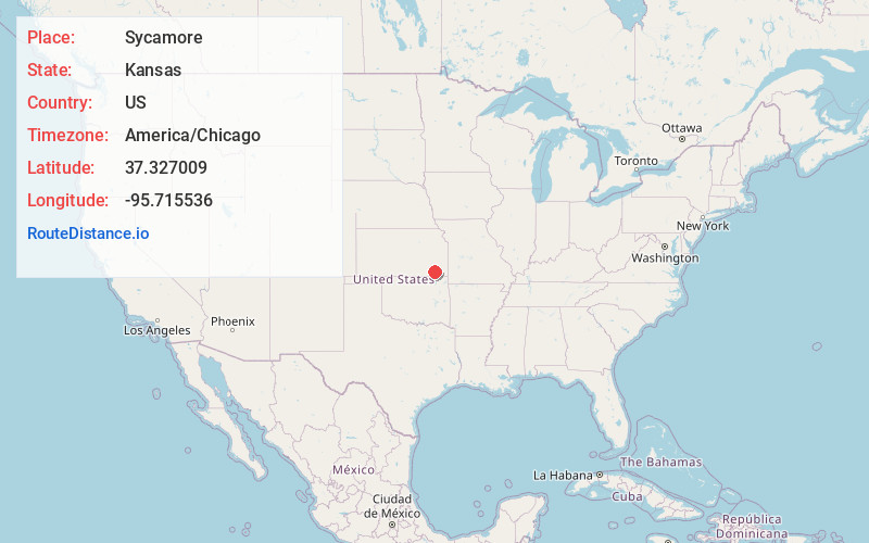
Full AddressSycamore, KS
-
Coordinates37.3270085, -95.7155358
-
LocationSycamore , Kansas , US
-
TimezoneAmerica/Chicago
-
Current Local Time8:22:08 PM America/ChicagoFriday, June 27, 2025
-
Page Views0
About Sycamore
Sycamore is a census-designated place in northern Montgomery County, Kansas, United States. As of the 2020 census, the population was 70. It is located along U.S. Route 75, north of the city of Independence.

Nearby Places
Found 10 places within 50 miles

Neodesha
6.6 mi
10.6 km
Neodesha, KS 66757
Get directions

Independence
7.1 mi
11.4 km
Independence, KS 67301
Get directions

Cherryvale
9.8 mi
15.8 km
Cherryvale, KS 67335
Get directions

Elk City
11.1 mi
17.9 km
Elk City, KS 67344
Get directions

Liberty
13.6 mi
21.9 km
Liberty, KS 67351
Get directions

Altoona
13.9 mi
22.4 km
Altoona, KS 66710
Get directions

Fredonia
15.5 mi
24.9 km
Fredonia, KS 66736
Get directions
Dennis
16.7 mi
26.9 km
Dennis, KS
Get directions

Thayer
17.3 mi
27.8 km
Thayer, KS 66776
Get directions
Dearing
18.5 mi
29.8 km
Dearing, KS
Get directions
Location Links
Local Weather
Weather Information
Coming soon!
Location Map
Static map view of Sycamore, Kansas
Browse Places by Distance
Places within specific distances from Sycamore
Short Distances
Long Distances
Click any distance to see all places within that range from Sycamore. Distances shown in miles (1 mile ≈ 1.61 kilometers).