Distance to Drummond, Michigan

Calculating Your Route
Just a moment while we process your request...
Location Information
-
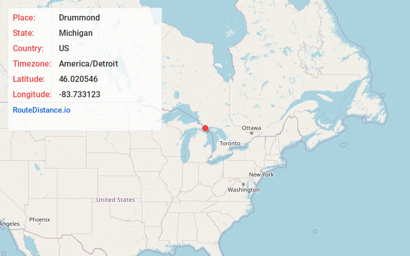
Full AddressDrummond, MI 49726
-
Coordinates46.0205456, -83.7331233
-
LocationDrummond , Michigan , US
-
TimezoneAmerica/Detroit
-
Current Local Time1:28:50 AM America/DetroitMonday, June 30, 2025
-
Page Views1
About Drummond
Drummond Township is a civil township of Chippewa County in the U.S. state of Michigan. The population was 973 at the 2020 census.
The township encompasses the large Drummond Island and numerous smaller islands. Drummond Island is the seventh-largest lake island in the world.


Nearby Places
Found 10 places within 50 miles

Johnswood
7.2 mi
11.6 km
Johnswood, MI 49726
Get directions

De Tour Village
8.3 mi
13.4 km
De Tour Village, MI 49725
Get directions

Goetzville
17.4 mi
28.0 km
Goetzville, MI 49736
Get directions

Raber Township
20.6 mi
33.2 km
Raber Township, MI
Get directions
Stalwart
24.8 mi
39.9 km
Stalwart, MI 49736
Get directions
Port Dolomite
26.1 mi
42.0 km
Port Dolomite, MI 49719
Get directions
Munuscong
26.6 mi
42.8 km
Munuscong, MI 49710
Get directions

Clark Township
29.1 mi
46.8 km
Clark Township, MI
Get directions
Oak Ridge
29.4 mi
47.3 km
Oak Ridge, MI 49710
Get directions

Pickford Township
29.8 mi
48.0 km
Pickford Township, MI
Get directions
Location Links
Local Weather
Weather Information
Coming soon!
Location Map
Static map view of Drummond, Michigan
Browse Places by Distance
Places within specific distances from Drummond
Short Distances
Long Distances
Click any distance to see all places within that range from Drummond. Distances shown in miles (1 mile ≈ 1.61 kilometers).