Distance to Dry Tavern, Pennsylvania

Calculating Your Route
Just a moment while we process your request...
Location Information
-
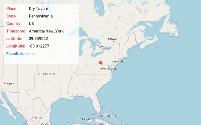
Full AddressDry Tavern, PA 15357
-
Coordinates39.9392416, -80.0122771
-
LocationDry Tavern , Pennsylvania , US
-
TimezoneAmerica/New_York
-
Current Local Time1:38:48 AM America/New_YorkMonday, June 23, 2025
-
Page Views0
About Dry Tavern
Dry Tavern is a census-designated place in Jefferson Township, Greene County, Pennsylvania, United States. It is located next to the borough of Rices Landing along Pennsylvania Route 88, on high ground south of the Monongahela River. As of the 2010 census the population was 697.


Nearby Places
Found 10 places within 50 miles

Morgan Township
4.1 mi
6.6 km
Morgan Township, PA
Get directions
East Bethlehem Township
4.3 mi
6.9 km
East Bethlehem Township, PA
Get directions
Fairdale
4.3 mi
6.9 km
Fairdale, PA 15320
Get directions

Deemston
6.1 mi
9.8 km
Deemston, PA
Get directions

Republic
7.4 mi
11.9 km
Republic, PA
Get directions
Hiller
7.7 mi
12.4 km
Hiller, PA
Get directions
West Bethlehem Township
8.5 mi
13.7 km
West Bethlehem Township, PA
Get directions

West Brownsville
8.7 mi
14.0 km
West Brownsville, PA
Get directions

Masontown
8.7 mi
14.0 km
Masontown, PA 15461
Get directions

Brownsville
9.0 mi
14.5 km
Brownsville, PA 15417
Get directions
Location Links
Local Weather
Weather Information
Coming soon!
Location Map
Static map view of Dry Tavern, Pennsylvania
Browse Places by Distance
Places within specific distances from Dry Tavern
Short Distances
Long Distances
Click any distance to see all places within that range from Dry Tavern. Distances shown in miles (1 mile ≈ 1.61 kilometers).