Distance to Dryad, Washington

Calculating Your Route
Just a moment while we process your request...
Location Information
-
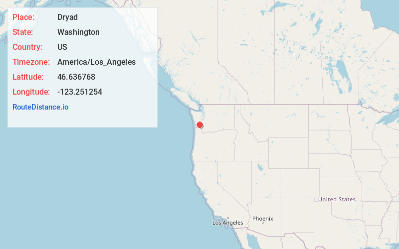
Full AddressDryad, WA 98532
-
Coordinates46.6367677, -123.2512541
-
LocationDryad , Washington , US
-
TimezoneAmerica/Los_Angeles
-
Current Local Time2:07:11 AM America/Los_AngelesSaturday, June 21, 2025
-
Page Views0
About Dryad
Dryad is a rural unincorporated community in Lewis County, Washington. The town of Doty is 1.3-miles to the west, with Adna and Ceres to the east, on Washington State Route 6. The Chehalis River bisects the area.
Nearby Places
Found 10 places within 50 miles

Ceres Hill
4.7 mi
7.6 km
Ceres Hill, Washington 98532
Get directions

Pe Ell
5.1 mi
8.2 km
Pe Ell, WA
Get directions

Walville
7.6 mi
12.2 km
Walville, WA 98572
Get directions
Klaber
7.8 mi
12.6 km
Klaber, WA 98538
Get directions

Adna
9.0 mi
14.5 km
Adna, WA 98532
Get directions
Elk Creek
9.5 mi
15.3 km
Elk Creek, WA 98577
Get directions

Chehalis
13.5 mi
21.7 km
Chehalis, WA 98532
Get directions
Fords Prairie
13.9 mi
22.4 km
Fords Prairie, WA 98531
Get directions

Oakville
14.1 mi
22.7 km
Oakville, WA 98568
Get directions

Centralia
15.1 mi
24.3 km
Centralia, WA
Get directions
Location Links
Local Weather
Weather Information
Coming soon!
Location Map
Static map view of Dryad, Washington
Browse Places by Distance
Places within specific distances from Dryad
Short Distances
Long Distances
Click any distance to see all places within that range from Dryad. Distances shown in miles (1 mile ≈ 1.61 kilometers).