Distance to Dryden, Virginia

Calculating Your Route
Just a moment while we process your request...
Location Information
-
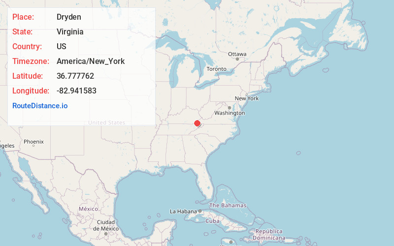
Full AddressDryden, VA
-
Coordinates36.7777622, -82.9415825
-
LocationDryden , Virginia , US
-
TimezoneAmerica/New_York
-
Current Local Time9:47:53 AM America/New_YorkWednesday, June 4, 2025
-
Page Views0
About Dryden
Dryden is an unincorporated community and census-designated place in Lee County, Virginia, United States. The population was 1,208 at the 2010 census.


Nearby Places
Found 10 places within 50 miles

Jonesville
11.2 mi
18.0 km
Jonesville, VA 24263
Get directions

Appalachia
12.5 mi
20.1 km
Appalachia, VA
Get directions

Lynch
13.1 mi
21.1 km
Lynch, KY 40855
Get directions

Evarts
15.2 mi
24.5 km
Evarts, KY 40828
Get directions

Norton
20.4 mi
32.8 km
Norton, VA
Get directions

Harlan
21.5 mi
34.6 km
Harlan, KY
Get directions

Church Hill
21.7 mi
34.9 km
Church Hill, TN 37642
Get directions

Surgoinsville
21.8 mi
35.1 km
Surgoinsville, TN
Get directions

Gate City
22.2 mi
35.7 km
Gate City, VA
Get directions

Mt Carmel
22.4 mi
36.0 km
Mt Carmel, TN
Get directions
Location Links
Local Weather
Weather Information
Coming soon!
Location Map
Static map view of Dryden, Virginia
Browse Places by Distance
Places within specific distances from Dryden
Short Distances
Long Distances
Click any distance to see all places within that range from Dryden. Distances shown in miles (1 mile ≈ 1.61 kilometers).