Distance to Drytown, Virginia

Calculating Your Route
Just a moment while we process your request...
Location Information
-
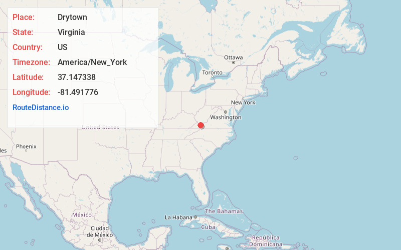
Full AddressDrytown, Tazewell, VA 24630
-
Coordinates37.1473376, -81.4917756
-
LocationTazewell , Virginia , US
-
TimezoneAmerica/New_York
-
Current Local Time6:00:45 PM America/New_YorkThursday, June 19, 2025
-
Page Views0
Nearby Places
Found 10 places within 50 miles

Tazewell
2.7 mi
4.3 km
Tazewell, VA
Get directions

Gratton
4.4 mi
7.1 km
Gratton, VA
Get directions
Horsepen Cove
4.7 mi
7.6 km
Horsepen Cove, VA 24602
Get directions
Abbs Valley
7.0 mi
11.3 km
Abbs Valley, VA 24605
Get directions
Amonate
8.6 mi
13.8 km
Amonate, VA
Get directions
Boissevain
11.1 mi
17.9 km
Boissevain, VA 24605
Get directions
St Clair
11.4 mi
18.3 km
St Clair, VA 24605
Get directions
Cucumber
11.7 mi
18.8 km
Cucumber, WV 24815
Get directions
Berwind
12.8 mi
20.6 km
Berwind, WV 24815
Get directions

Pounding Mill
12.9 mi
20.8 km
Pounding Mill, VA 24637
Get directions
Location Links
Local Weather
Weather Information
Coming soon!
Location Map
Static map view of Drytown, Virginia
Browse Places by Distance
Places within specific distances from Drytown
Short Distances
Long Distances
Click any distance to see all places within that range from Drytown. Distances shown in miles (1 mile ≈ 1.61 kilometers).