Distance to Dunbrooke, Virginia

Calculating Your Route
Just a moment while we process your request...
Location Information
-
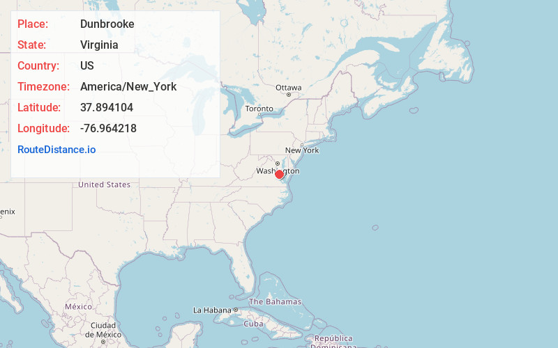
Full AddressDunbrooke, VA 22560
-
Coordinates37.894104, -76.964218
-
LocationDunbrooke , Virginia , US
-
TimezoneAmerica/New_York
-
Current Local Time2:17:01 PM America/New_YorkThursday, July 3, 2025
-
Page Views0
About Dunbrooke
Dunbrooke is an unincorporated community in Essex County, in the U.S. state of Virginia. It was named for the postmasters in the 1800s Robert Dunn and Sarah Elizabeth Brooks. The community's former name was Piscataway.
Cherry Walk was listed on the National Register of Historic Places in 1983.
Nearby Places
Found 10 places within 50 miles

Rexburg
3.2 mi
5.1 km
Rexburg, VA 22560
Get directions
Pauls Crossroads
3.6 mi
5.8 km
Pauls Crossroads, VA 22560
Get directions
Henley Fork
3.6 mi
5.8 km
Henley Fork, VA 22560
Get directions
Indian Neck
3.8 mi
6.1 km
Indian Neck, VA 23148
Get directions
Minor
3.9 mi
6.3 km
Minor, VA 22560
Get directions
Cauthornville
5.6 mi
9.0 km
Cauthornville, VA 23148
Get directions
Battery
5.9 mi
9.5 km
Battery, VA 22560
Get directions
Howertons
5.9 mi
9.5 km
Howertons, VA 22454
Get directions

Tappahannock
6.1 mi
9.8 km
Tappahannock, VA 22560
Get directions
Richmond Beach
7.0 mi
11.3 km
Richmond Beach, VA 22560
Get directions
Location Links
Local Weather
Weather Information
Coming soon!
Location Map
Static map view of Dunbrooke, Virginia
Browse Places by Distance
Places within specific distances from Dunbrooke
Short Distances
Long Distances
Click any distance to see all places within that range from Dunbrooke. Distances shown in miles (1 mile ≈ 1.61 kilometers).