Distance to Dundee, Kentucky

Calculating Your Route
Just a moment while we process your request...
Location Information
-
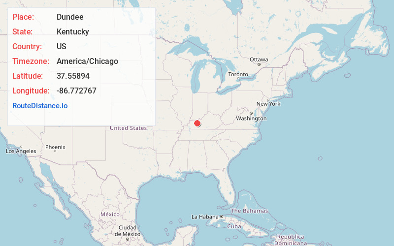
Full AddressDundee, KY 42347
-
Coordinates37.5589399, -86.772767
-
LocationDundee , Kentucky , US
-
TimezoneAmerica/Chicago
-
Current Local Time2:34:24 AM America/ChicagoThursday, May 22, 2025
-
Page Views0
About Dundee
Dundee is an unincorporated community in Ohio County, Kentucky, United States. Dundee is located on Kentucky Route 69, 10.5 miles northeast of Hartford.
Nearby Places
Found 10 places within 50 miles

Sunnydale
3.0 mi
4.8 km
Sunnydale, KY 42347
Get directions

Fordsville
6.1 mi
9.8 km
Fordsville, KY 42343
Get directions

Rosine
7.7 mi
12.4 km
Rosine, KY
Get directions

Whitesville
10.1 mi
16.3 km
Whitesville, KY 42378
Get directions

Hartford
10.6 mi
17.1 km
Hartford, KY
Get directions
Roseville
11.0 mi
17.7 km
Roseville, KY 42368
Get directions
Herbert
11.1 mi
17.9 km
Herbert, KY 42368
Get directions
Jugville
11.6 mi
18.7 km
Jugville, KY 42721
Get directions
Rockvale
11.9 mi
19.2 km
Rockvale, KY 40119
Get directions
Pleasant Ridge
12.1 mi
19.5 km
Pleasant Ridge, KY 42378
Get directions
Location Links
Local Weather
Weather Information
Coming soon!
Location Map
Static map view of Dundee, Kentucky
Browse Places by Distance
Places within specific distances from Dundee
Short Distances
Long Distances
Click any distance to see all places within that range from Dundee. Distances shown in miles (1 mile ≈ 1.61 kilometers).