Distance to Dundee, Texas

Calculating Your Route
Just a moment while we process your request...
Location Information
-
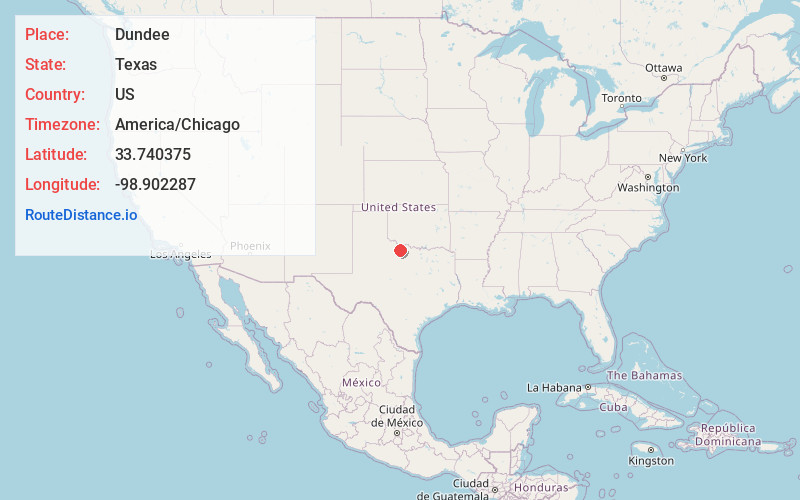
Full AddressDundee, TX 76366
-
Coordinates33.7403754, -98.9022868
-
LocationDundee , Texas , US
-
TimezoneAmerica/Chicago
-
Current Local Time9:53:49 AM America/ChicagoMonday, June 23, 2025
-
Page Views0
About Dundee
Dundee is an unincorporated community located in Archer County, Texas, United States. According to the Handbook of Texas, the community had a population of 12 in 2010. Dundee is located within the Wichita Falls Metropolitan Statistical Area.


Nearby Places
Found 10 places within 50 miles

Mankins
6.7 mi
10.8 km
Mankins, TX 76366
Get directions

Holliday
13.0 mi
20.9 km
Holliday, TX
Get directions

Mabelle
14.4 mi
23.2 km
Mabelle, TX 76380
Get directions
Fowlkes
17.9 mi
28.8 km
Fowlkes, TX 76360
Get directions
Westover
18.1 mi
29.1 km
Westover, TX 76380
Get directions

Archer City
18.8 mi
30.3 km
Archer City, TX
Get directions
Lively
18.8 mi
30.3 km
Lively, TX 76380
Get directions

Iowa Park
19.8 mi
31.9 km
Iowa Park, TX 76367
Get directions

Electra
20.0 mi
32.2 km
Electra, TX 76360
Get directions

Megargel
20.0 mi
32.2 km
Megargel, TX 76370
Get directions
Location Links
Local Weather
Weather Information
Coming soon!
Location Map
Static map view of Dundee, Texas
Browse Places by Distance
Places within specific distances from Dundee
Short Distances
Long Distances
Click any distance to see all places within that range from Dundee. Distances shown in miles (1 mile ≈ 1.61 kilometers).