Distance to Dundee, Mississippi

Calculating Your Route
Just a moment while we process your request...
Location Information
-
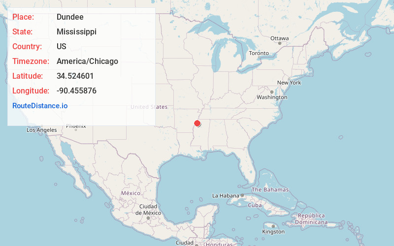
Full AddressDundee, MS 38626
-
Coordinates34.5246012, -90.4558762
-
LocationDundee , Mississippi , US
-
TimezoneAmerica/Chicago
-
Current Local Time6:47:34 PM America/ChicagoSunday, May 25, 2025
-
Page Views0
About Dundee
Dundee is a census-designated place and unincorporated community in Tunica County, Mississippi, United States. Dundee is 12 miles south-southwest of Tunica. Dundee has a post office with ZIP code 38626.
It was first named as a CDP in the 2020 Census which listed a population of 73.

Nearby Places
Found 10 places within 50 miles

Lula
5.1 mi
8.2 km
Lula, MS 38644
Get directions

Helena-West Helena
7.7 mi
12.4 km
Helena-West Helena, AR
Get directions

White Oak
10.2 mi
16.4 km
White Oak, MS 38676
Get directions

Coahoma
11.6 mi
18.7 km
Coahoma, MS 38617
Get directions

Tunica
11.8 mi
19.0 km
Tunica, MS 38676
Get directions
North Tunica
13.0 mi
20.9 km
North Tunica, MS 38676
Get directions
Jonestown
14.2 mi
22.9 km
Jonestown, MS 38645
Get directions
Falcon
14.5 mi
23.3 km
Falcon, MS 38670
Get directions

Crenshaw
14.7 mi
23.7 km
Crenshaw, MS 38621
Get directions

Sledge
14.8 mi
23.8 km
Sledge, MS
Get directions
Location Links
Local Weather
Weather Information
Coming soon!
Location Map
Static map view of Dundee, Mississippi
Browse Places by Distance
Places within specific distances from Dundee
Short Distances
Long Distances
Click any distance to see all places within that range from Dundee. Distances shown in miles (1 mile ≈ 1.61 kilometers).