Distance to Lula, Mississippi

Calculating Your Route
Just a moment while we process your request...
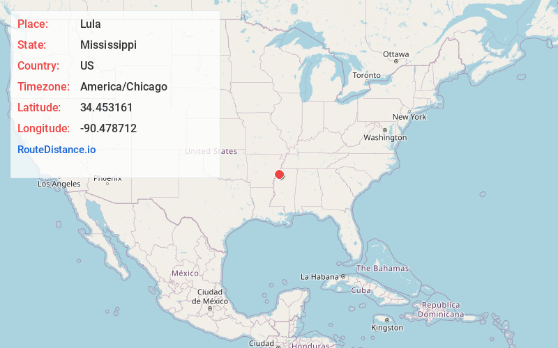
Location Information
-
Full AddressLula, MS 38644
-
Coordinates34.453161, -90.4787116
-
LocationLula , Mississippi , US
-
TimezoneAmerica/Chicago
-
Current Local Time7:36:59 AM America/ChicagoFriday, June 20, 2025
-
Page Views0
About Lula
Lula is a town in Coahoma County, Mississippi, United States. Per the 2020 census, the population was 204.


Nearby Places
Found 10 places within 50 miles

Helena-West Helena
8.3 mi
13.4 km
Helena-West Helena, AR
Get directions

Jonestown
9.3 mi
15.0 km
Jonestown, MS 38645
Get directions
Friars Point
10.8 mi
17.4 km
Friars Point, MS 38631
Get directions

Sledge
14.8 mi
23.8 km
Sledge, MS
Get directions
White Oak
15.1 mi
24.3 km
White Oak, MS 38676
Get directions

Crenshaw
16.3 mi
26.2 km
Crenshaw, MS 38621
Get directions

Lyon
16.7 mi
26.9 km
Lyon, MS
Get directions

Tunica
16.9 mi
27.2 km
Tunica, MS 38676
Get directions
Farrell
17.1 mi
27.5 km
Farrell, MS 38614
Get directions

Marks
18.0 mi
29.0 km
Marks, MS 38646
Get directions
Location Links
Local Weather
Weather Information
Coming soon!
Location Map
Static map view of Lula, Mississippi
Browse Places by Distance
Places within specific distances from Lula
Short Distances
Long Distances
Click any distance to see all places within that range from Lula. Distances shown in miles (1 mile ≈ 1.61 kilometers).