Distance to Dunlap, Kansas

Calculating Your Route
Just a moment while we process your request...
Location Information
-
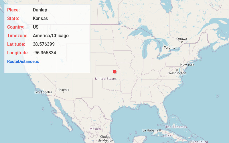
Full AddressDunlap, KS 66846
-
Coordinates38.5763988, -96.3658336
-
LocationDunlap , Kansas , US
-
TimezoneAmerica/Chicago
-
Current Local Time2:03:42 PM America/ChicagoFriday, June 20, 2025
-
Page Views0
About Dunlap
Dunlap is a city in Morris County, Kansas, United States. As of the 2020 census, the population of the city was 27.


Nearby Places
Found 10 places within 50 miles

Americus
7.4 mi
11.9 km
Americus, KS 66835
Get directions

Council Grove
9.0 mi
14.5 km
Council Grove, KS 66846
Get directions

Allen
11.9 mi
19.2 km
Allen, KS 66833
Get directions

Admire
14.9 mi
24.0 km
Admire, KS
Get directions

Strong City
15.5 mi
24.9 km
Strong City, KS 66869
Get directions

Emporia
15.5 mi
24.9 km
Emporia, KS 66801
Get directions

Cottonwood Falls
17.0 mi
27.4 km
Cottonwood Falls, KS
Get directions

Wilsey
17.2 mi
27.7 km
Wilsey, KS 66873
Get directions
Parkerville
20.5 mi
33.0 km
Parkerville, KS
Get directions
Elmdale
20.6 mi
33.2 km
Elmdale, KS 66850
Get directions
Location Links
Local Weather
Weather Information
Coming soon!
Location Map
Static map view of Dunlap, Kansas
Browse Places by Distance
Places within specific distances from Dunlap
Short Distances
Long Distances
Click any distance to see all places within that range from Dunlap. Distances shown in miles (1 mile ≈ 1.61 kilometers).