Distance to Dunlap, Illinois

Calculating Your Route
Just a moment while we process your request...
Location Information
-
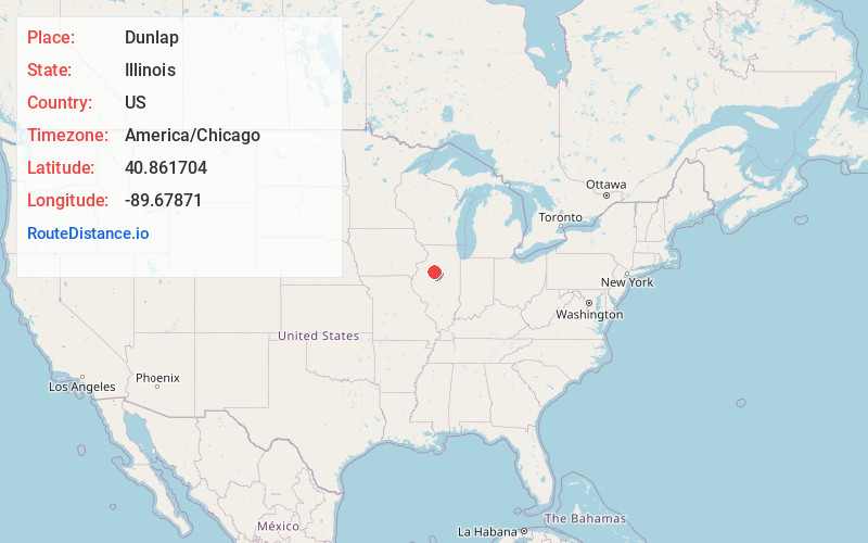
Full AddressDunlap, IL 61525
-
Coordinates40.8617037, -89.6787104
-
LocationDunlap , Illinois , US
-
TimezoneAmerica/Chicago
-
Current Local Time1:48:21 AM America/ChicagoSaturday, June 21, 2025
-
Page Views0
About Dunlap
Dunlap is a village in Peoria County, Illinois, United States. Its population was 1,386 people as of the 2010 census. Dunlap is part of the Peoria metropolitan area and growth in the city of Peoria is extending towards the village. There are only a handful of businesses in the village's 16 blocks.


Nearby Places
Found 10 places within 50 miles

Princeville
6.3 mi
10.1 km
Princeville, IL 61559
Get directions

Rome
9.3 mi
15.0 km
Rome, IL
Get directions

Peoria Heights
9.6 mi
15.4 km
Peoria Heights, IL
Get directions

Chillicothe
10.9 mi
17.5 km
Chillicothe, IL 61523
Get directions

West Peoria
12.0 mi
19.3 km
West Peoria, IL
Get directions
Bellevue
12.2 mi
19.6 km
Bellevue, IL
Get directions

Peoria
12.5 mi
20.1 km
Peoria, IL
Get directions
Germantown Hills
12.8 mi
20.6 km
Germantown Hills, IL 61548
Get directions

Hanna City
13.2 mi
21.2 km
Hanna City, IL 61536
Get directions

East Peoria
14.5 mi
23.3 km
East Peoria, IL
Get directions
Location Links
Local Weather
Weather Information
Coming soon!
Location Map
Static map view of Dunlap, Illinois
Browse Places by Distance
Places within specific distances from Dunlap
Short Distances
Long Distances
Click any distance to see all places within that range from Dunlap. Distances shown in miles (1 mile ≈ 1.61 kilometers).