Distance to Dunlay, Kansas

Calculating Your Route
Just a moment while we process your request...
Location Information
-
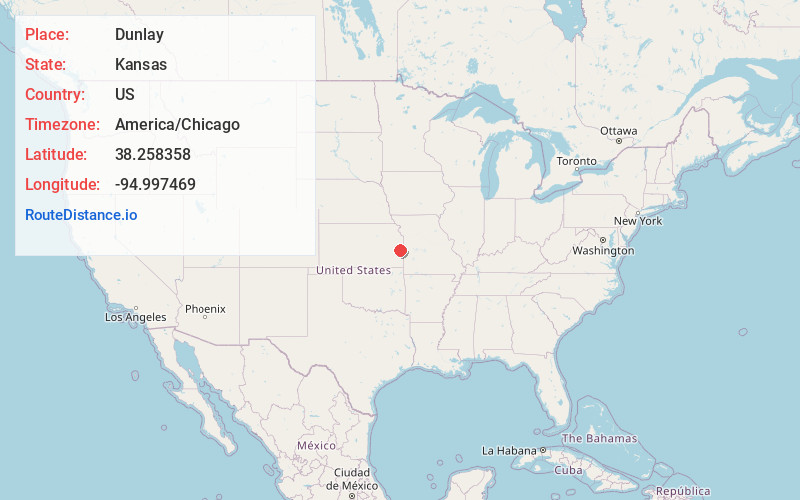
Full AddressDunlay, Centerville Township, KS 66072
-
Coordinates38.2583575, -94.9974686
-
LocationCenterville Township , Kansas , US
-
TimezoneAmerica/Chicago
-
Current Local Time9:42:53 AM America/ChicagoWednesday, June 25, 2025
-
Page Views0
Nearby Places
Found 10 places within 50 miles

Goodrich
1.8 mi
2.9 km
Goodrich, Liberty Township, KS 66072
Get directions

Centerville
2.7 mi
4.3 km
Centerville, KS
Get directions
Parker
4.8 mi
7.7 km
Parker, KS 66072
Get directions
Bush City
8.6 mi
13.8 km
Bush City, Lincoln Township, KS 66032
Get directions
Critzer
9.4 mi
15.1 km
Critzer, Mound City Township, KS 66056
Get directions
Greeley
10.3 mi
16.6 km
Greeley, KS 66033
Get directions
Selma
10.9 mi
17.5 km
Selma, Rich Township, KS 66039
Get directions
Blue Mound
11.6 mi
18.7 km
Blue Mound, KS 66010
Get directions

Mound City
12.8 mi
20.6 km
Mound City, KS
Get directions

Lane
13.3 mi
21.4 km
Lane, KS 66042
Get directions
Location Links
Local Weather
Weather Information
Coming soon!
Location Map
Static map view of Dunlay, Kansas
Browse Places by Distance
Places within specific distances from Dunlay
Short Distances
Long Distances
Click any distance to see all places within that range from Dunlay. Distances shown in miles (1 mile ≈ 1.61 kilometers).