Distance to Centerville, Kansas

Calculating Your Route
Just a moment while we process your request...
Location Information
-
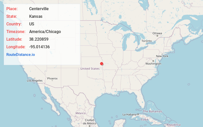
Full AddressCenterville, KS
-
Coordinates38.2208588, -95.0141361
-
LocationCenterville , Kansas , US
-
TimezoneAmerica/Chicago
-
Current Local Time8:27:30 AM America/ChicagoWednesday, June 4, 2025
-
Page Views0
About Centerville
Centerville is a census-designated place in Linn County, Kansas, United States. As of the 2020 census, the population was 78. It is located 8.5 miles north of the city of Blue Mound.


Nearby Places
Found 10 places within 50 miles

Parker
7.5 mi
12.1 km
Parker, KS 66072
Get directions
Blue Mound
9.0 mi
14.5 km
Blue Mound, KS 66010
Get directions
Greeley
11.8 mi
19.0 km
Greeley, KS 66033
Get directions
Kincaid
12.1 mi
19.5 km
Kincaid, KS 66039
Get directions

Mound City
12.2 mi
19.6 km
Mound City, KS
Get directions

Garnett
13.0 mi
20.9 km
Garnett, KS 66032
Get directions

Lane
15.6 mi
25.1 km
Lane, KS 66042
Get directions
Welda
15.7 mi
25.3 km
Welda, KS 66091
Get directions
Lone Elm
15.8 mi
25.4 km
Lone Elm, KS 66039
Get directions

Mapleton
15.9 mi
25.6 km
Mapleton, KS 66754
Get directions
Location Links
Local Weather
Weather Information
Coming soon!
Location Map
Static map view of Centerville, Kansas
Browse Places by Distance
Places within specific distances from Centerville
Short Distances
Long Distances
Click any distance to see all places within that range from Centerville. Distances shown in miles (1 mile ≈ 1.61 kilometers).