Distance to Mapleton, Kansas

Calculating Your Route
Just a moment while we process your request...
Location Information
-
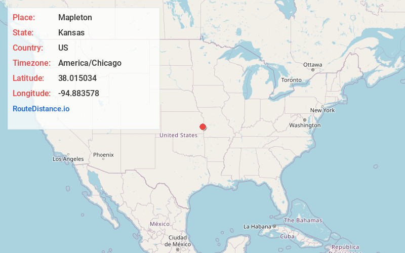
Full AddressMapleton, KS 66754
-
Coordinates38.015034, -94.8835775
-
LocationMapleton , Kansas , US
-
TimezoneAmerica/Chicago
-
Current Local Time7:50:37 PM America/ChicagoThursday, June 5, 2025
-
Page Views0
About Mapleton
Mapleton is a city in Bourbon County, Kansas, United States. As of the 2020 census, the population of the city was 96.


Nearby Places
Found 10 places within 50 miles

Blue Mound
8.5 mi
13.7 km
Blue Mound, KS 66010
Get directions

Mound City
9.6 mi
15.4 km
Mound City, KS
Get directions

Uniontown
12.6 mi
20.3 km
Uniontown, KS 66779
Get directions
Bronson
13.2 mi
21.2 km
Bronson, KS 66716
Get directions

Pleasanton
14.6 mi
23.5 km
Pleasanton, KS 66075
Get directions

Fort Scott
15.4 mi
24.8 km
Fort Scott, KS 66701
Get directions
Moran
17.0 mi
27.4 km
Moran, KS 66755
Get directions

Hume
17.1 mi
27.5 km
Hume, MO 64752
Get directions
Parker
22.4 mi
36.0 km
Parker, KS 66072
Get directions

La Harpe
23.6 mi
38.0 km
La Harpe, KS 66751
Get directions
Location Links
Local Weather
Weather Information
Coming soon!
Location Map
Static map view of Mapleton, Kansas
Browse Places by Distance
Places within specific distances from Mapleton
Short Distances
Long Distances
Click any distance to see all places within that range from Mapleton. Distances shown in miles (1 mile ≈ 1.61 kilometers).