Distance to Uniontown, Kansas

Calculating Your Route
Just a moment while we process your request...
Location Information
-
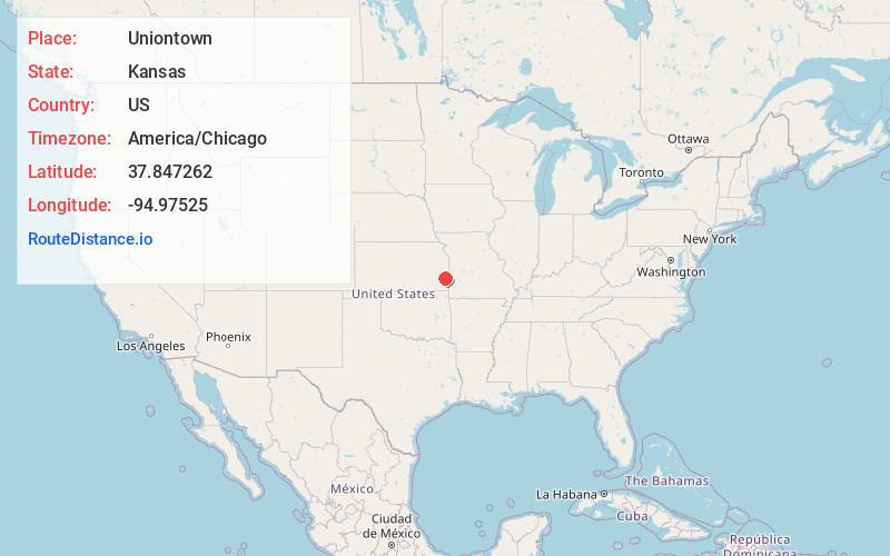
Full AddressUniontown, KS 66779
-
Coordinates37.8472619, -94.9752495
-
LocationUniontown , Kansas , US
-
TimezoneAmerica/Chicago
-
Current Local Time4:15:32 AM America/ChicagoTuesday, June 24, 2025
-
Page Views0
About Uniontown
Uniontown is a city in Bourbon County, Kansas, United States. As of the 2020 census, the population of the city was 293.

Nearby Places
Found 10 places within 50 miles

Bronson
6.3 mi
10.1 km
Bronson, KS 66716
Get directions
Moran
11.7 mi
18.8 km
Moran, KS 66755
Get directions

Fort Scott
14.6 mi
23.5 km
Fort Scott, KS 66701
Get directions

La Harpe
18.3 mi
29.5 km
La Harpe, KS 66751
Get directions

Gas
20.9 mi
33.6 km
Gas, KS 66749
Get directions

Mound City
22.2 mi
35.7 km
Mound City, KS
Get directions

Iola
23.8 mi
38.3 km
Iola, KS 66749
Get directions
Erie
24.2 mi
38.9 km
Erie, KS 66733
Get directions

Girard
24.4 mi
39.3 km
Girard, KS 66743
Get directions

St Paul
25.2 mi
40.6 km
St Paul, KS 66771
Get directions
Location Links
Local Weather
Weather Information
Coming soon!
Location Map
Static map view of Uniontown, Kansas
Browse Places by Distance
Places within specific distances from Uniontown
Short Distances
Long Distances
Click any distance to see all places within that range from Uniontown. Distances shown in miles (1 mile ≈ 1.61 kilometers).