Distance to Dunleith, Mississippi

Calculating Your Route
Just a moment while we process your request...
Location Information
-
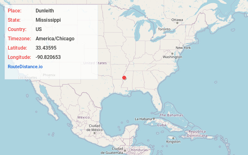
Full AddressDunleith, MS 38756
-
Coordinates33.4359502, -90.8206531
-
LocationMississippi , US
-
TimezoneAmerica/Chicago
-
Current Local Time12:36:24 AM America/ChicagoFriday, June 20, 2025
-
Page Views0
About Dunleith
Dunleith is an unincorporated community located in Washington County, Mississippi.
Dunleith is approximately 6 miles east of Leland.
The Dunleith Plantation was located here. In the 1930s, it was considered one of the finest plantations in the Delta. With a tile drainage system, it was valued at over US$1 million.
Nearby Places
Found 10 places within 50 miles

Rexburg
1.4 mi
2.3 km
Rexburg, MS 38756
Get directions
Long
1.6 mi
2.6 km
Long, MS 38756
Get directions
Elizabeth
3.4 mi
5.5 km
Elizabeth, MS 38756
Get directions
Geneill
3.5 mi
5.6 km
Geneill, MS 38756
Get directions
Dunkirk
3.8 mi
6.1 km
Dunkirk, MS 38756
Get directions
Helm
4.6 mi
7.4 km
Helm, MS 38756
Get directions

Leland
4.9 mi
7.9 km
Leland, MS 38756
Get directions
Stoneville
5.5 mi
8.9 km
Stoneville, MS
Get directions
Tribbett
5.9 mi
9.5 km
Tribbett, MS 38756
Get directions
Bourbon
7.8 mi
12.6 km
Bourbon, MS 38756
Get directions
Location Links
Local Weather
Weather Information
Coming soon!
Location Map
Static map view of Dunleith, Mississippi
Browse Places by Distance
Places within specific distances from Dunleith
Short Distances
Long Distances
Click any distance to see all places within that range from Dunleith. Distances shown in miles (1 mile ≈ 1.61 kilometers).