Distance to Dunning, Nebraska

Calculating Your Route
Just a moment while we process your request...
Location Information
-
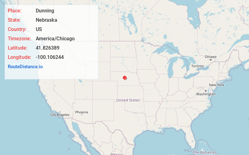
Full AddressDunning, NE 68833
-
Coordinates41.826389, -100.1062441
-
LocationDunning , Nebraska , US
-
TimezoneAmerica/Chicago
-
Current Local Time6:44:13 PM America/ChicagoSunday, June 22, 2025
-
Page Views0
About Dunning
Dunning is the most populous village in Blaine County, Nebraska, United States. The population was 80 at the 2020 census.
Nearby Places
Found 10 places within 50 miles

Anselmo
19.0 mi
30.6 km
Anselmo, NE 68813
Get directions

Thedford
26.3 mi
42.3 km
Thedford, NE 69166
Get directions

Arnold
28.3 mi
45.5 km
Arnold, NE 69120
Get directions

Merna
29.7 mi
47.8 km
Merna, NE
Get directions

Stapleton
31.8 mi
51.2 km
Stapleton, NE 69163
Get directions

Taylor
37.7 mi
60.7 km
Taylor, NE
Get directions

Broken Bow
37.9 mi
61.0 km
Broken Bow, NE 68822
Get directions

Callaway
38.1 mi
61.3 km
Callaway, NE 68825
Get directions
Sargent
40.0 mi
64.4 km
Sargent, NE 68874
Get directions
Berwyn
45.4 mi
73.1 km
Berwyn, NE 68814
Get directions
Location Links
Local Weather
Weather Information
Coming soon!
Location Map
Static map view of Dunning, Nebraska
Browse Places by Distance
Places within specific distances from Dunning
Short Distances
Long Distances
Click any distance to see all places within that range from Dunning. Distances shown in miles (1 mile ≈ 1.61 kilometers).