Distance to Dunns Station, Pennsylvania

Calculating Your Route
Just a moment while we process your request...
Location Information
-
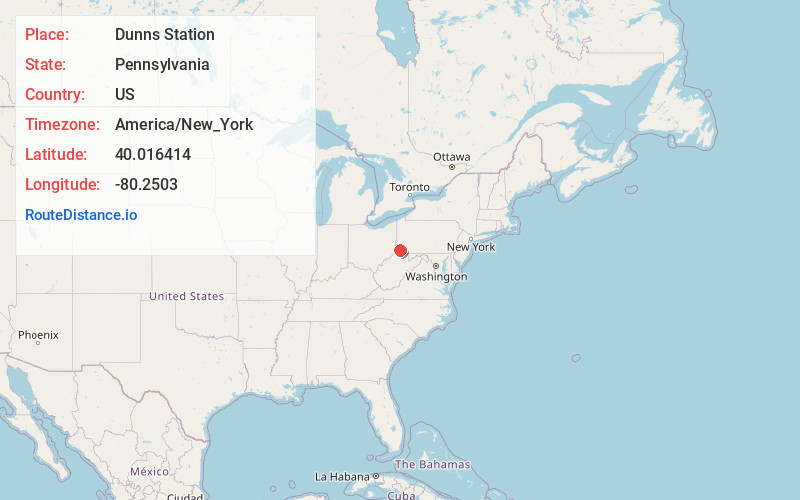
Full AddressDunns Station, PA 15329
-
Coordinates40.0164138, -80.2503003
-
LocationDunns Station , Pennsylvania , US
-
TimezoneAmerica/New_York
-
Current Local Time2:24:40 PM America/New_YorkTuesday, July 1, 2025
-
Page Views0
About Dunns Station
Dunns Station is an unincorporated, rural village located in the southern part of Morris Township, Washington County, Pennsylvania. It is located near the intersection of Dunns Station Road and Conger Road.
The community came into being with the opening of the Waynesburg and Washington Railroad in 1877.
Nearby Places
Found 10 places within 50 miles

Plumbsock
0.6 mi
1.0 km
Plumbsock, Morris Township, PA 15329
Get directions
Conger
0.8 mi
1.3 km
Conger, Morris Township, PA 15311
Get directions
Ringlands
1.3 mi
2.1 km
Ringlands, Morris Township, PA 15311
Get directions
West Union
1.4 mi
2.3 km
West Union, PA 15364
Get directions
Hackney
2.0 mi
3.2 km
Hackney, Amwell Township, PA 15311
Get directions
West Amity
2.2 mi
3.5 km
West Amity, PA 15311
Get directions
Mt Herman
2.4 mi
3.9 km
Mt Herman, Amwell Township, PA 15329
Get directions
Deer Lick
2.9 mi
4.7 km
Deer Lick, Morris Township, PA 15364
Get directions
Amity
2.9 mi
4.7 km
Amity, PA 15311
Get directions
Prosperity
3.2 mi
5.1 km
Prosperity, PA 15329
Get directions
Location Links
Local Weather
Weather Information
Coming soon!
Location Map
Static map view of Dunns Station, Pennsylvania
Browse Places by Distance
Places within specific distances from Dunns Station
Short Distances
Long Distances
Click any distance to see all places within that range from Dunns Station. Distances shown in miles (1 mile ≈ 1.61 kilometers).