Distance to Dunsbach Ferry, New York

Calculating Your Route
Just a moment while we process your request...
Location Information
-
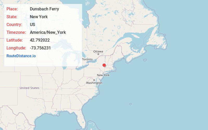
Full AddressDunsbach Ferry, NY 12047
-
Coordinates42.792022, -73.756231
-
LocationDunsbach Ferry , New York , US
-
TimezoneAmerica/New_York
-
Current Local Time6:43:01 PM America/New_YorkSaturday, May 31, 2025
-
Page Views0
About Dunsbach Ferry
Dunsbach Ferry is a hamlet of the town of Colonie, in Albany County, New York, United States. The hamlet sits to the east of, and below, the Thaddeus Kosciusko Bridge, where Interstate 87 crosses the Mohawk River.
Nearby Places
Found 10 places within 50 miles

Halfmoon Beach
0.8 mi
1.3 km
Halfmoon Beach, Halfmoon, NY 12065
Get directions
Crescent Station
1.2 mi
1.9 km
Crescent Station, Colonie, NY 12047
Get directions
Verdoy
3.1 mi
5.0 km
Verdoy, NY 12110
Get directions

Waterford
3.8 mi
6.1 km
Waterford, NY 12188
Get directions
Clifton Gardens Park
4.2 mi
6.8 km
Clifton Gardens Park, Clifton Park, NY 12065
Get directions
Pleasantdale
4.5 mi
7.2 km
Pleasantdale, NY 12182
Get directions
Shakers
4.6 mi
7.4 km
Shakers, Colonie, NY 12211
Get directions

Green Island
4.7 mi
7.6 km
Green Island, NY
Get directions

Watervliet
5.1 mi
8.2 km
Watervliet, NY
Get directions

Loudonville
6.0 mi
9.7 km
Loudonville, NY
Get directions
Location Links
Local Weather
Weather Information
Coming soon!
Location Map
Static map view of Dunsbach Ferry, New York
Browse Places by Distance
Places within specific distances from Dunsbach Ferry
Short Distances
Long Distances
Click any distance to see all places within that range from Dunsbach Ferry. Distances shown in miles (1 mile ≈ 1.61 kilometers).