Distance to Watervliet, New York

Calculating Your Route
Just a moment while we process your request...
Location Information
-
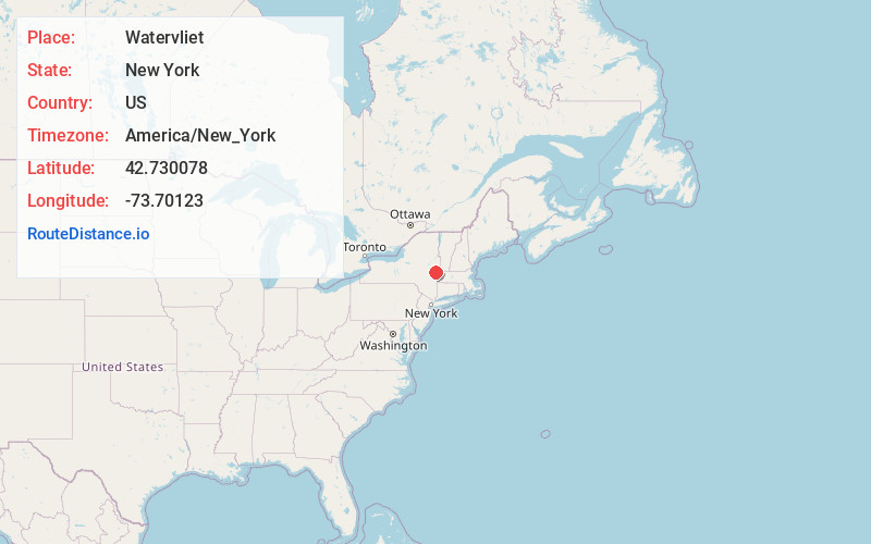
Full AddressWatervliet, NY
-
Coordinates42.7300783, -73.7012299
-
LocationWatervliet , New York , US
-
TimezoneAmerica/New_York
-
Current Local Time8:04:25 AM America/New_YorkSunday, June 8, 2025
-
Website
-
Page Views0
About Watervliet
Watervliet is a city in northeastern Albany County, New York, United States. The population was 10,375 as of the 2020 census. Watervliet is north of Albany, the capital of the state, and is bordered on the north, west, and south by the town of Colonie. The city is also known as "the Arsenal City".


Nearby Places
Found 10 places within 50 miles

North Greenbush
4.2 mi
6.8 km
North Greenbush, NY
Get directions
Roessleville
5.9 mi
9.5 km
Roessleville, NY
Get directions

Colonie
6.8 mi
10.9 km
Colonie, NY 12205
Get directions

Brunswick
7.1 mi
11.4 km
Brunswick, NY 12180
Get directions

East Greenbush
9.6 mi
15.4 km
East Greenbush, NY
Get directions

Guilderland
10.8 mi
17.4 km
Guilderland, NY 12084
Get directions

Bethlehem
12.1 mi
19.5 km
Bethlehem, NY
Get directions

Schenectady
13.4 mi
21.6 km
Schenectady, NY
Get directions

Rotterdam
14.2 mi
22.9 km
Rotterdam, NY
Get directions

Schodack
14.6 mi
23.5 km
Schodack, NY
Get directions
Location Links
Local Weather
Weather Information
Coming soon!
Location Map
Static map view of Watervliet, New York
Browse Places by Distance
Places within specific distances from Watervliet
Short Distances
Long Distances
Click any distance to see all places within that range from Watervliet. Distances shown in miles (1 mile ≈ 1.61 kilometers).