Distance to Schodack, New York

Calculating Your Route
Just a moment while we process your request...
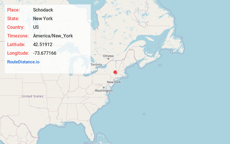
Location Information
-
Full AddressSchodack, NY
-
Coordinates42.5191196, -73.6771662
-
LocationSchodack , New York , US
-
TimezoneAmerica/New_York
-
Current Local Time12:01:37 AM America/New_YorkThursday, June 19, 2025
-
Page Views0
About Schodack
Schodack is a town in Rensselaer County, New York, United States. The population was 12,965 at the 2020 census. The town name is derived from the Mahican word, Escotak. The town is in the southwestern part of the county. Schodack is southeast of Albany, New York.


Nearby Places
Found 10 places within 50 miles

East Greenbush
5.1 mi
8.2 km
East Greenbush, NY
Get directions

Bethlehem
8.3 mi
13.4 km
Bethlehem, NY
Get directions

North Greenbush
10.6 mi
17.1 km
North Greenbush, NY
Get directions

Colonie
15.9 mi
25.6 km
Colonie, NY 12205
Get directions

Brunswick
16.1 mi
25.9 km
Brunswick, NY 12180
Get directions

Guilderland
17.5 mi
28.2 km
Guilderland, NY 12084
Get directions

Pittsfield
22.5 mi
36.2 km
Pittsfield, MA 01201
Get directions

Rotterdam
23.8 mi
38.3 km
Rotterdam, NY
Get directions

Schenectady
24.3 mi
39.1 km
Schenectady, NY
Get directions

North Adams
31.5 mi
50.7 km
North Adams, MA 01247
Get directions
Location Links
Local Weather
Weather Information
Coming soon!
Location Map
Static map view of Schodack, New York
Browse Places by Distance
Places within specific distances from Schodack
Short Distances
Long Distances
Click any distance to see all places within that range from Schodack. Distances shown in miles (1 mile ≈ 1.61 kilometers).