Distance to Durango, Iowa

Calculating Your Route
Just a moment while we process your request...
Location Information
-
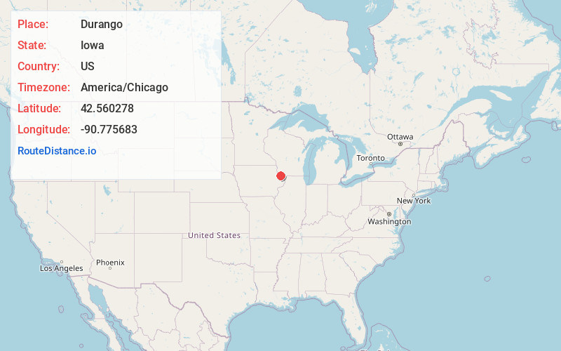
Full AddressDurango, IA 52039
-
Coordinates42.5602775, -90.7756829
-
LocationDurango , Iowa , US
-
TimezoneAmerica/Chicago
-
Current Local Time11:08:03 AM America/ChicagoSunday, June 15, 2025
-
Page Views0
About Durango
Durango is a city in Dubuque County, Iowa, United States. It is part of the Dubuque, Iowa Metropolitan Statistical Area. The population was 20 at the time of the 2020 census, down from 24 in 2000.
Nearby Places
Found 10 places within 50 miles

Sherrill
3.0 mi
4.8 km
Sherrill, IA 52073
Get directions
Asbury
3.4 mi
5.5 km
Asbury, IA 52002
Get directions
Sageville
4.4 mi
7.1 km
Sageville, IA
Get directions

Rickardsville
5.7 mi
9.2 km
Rickardsville, IA
Get directions

Dubuque
6.6 mi
10.6 km
Dubuque, IA
Get directions

Graf
6.7 mi
10.8 km
Graf, IA 52039
Get directions
Centralia
6.8 mi
10.9 km
Centralia, IA
Get directions

Balltown
7.2 mi
11.6 km
Balltown, IA 52073
Get directions

East Dubuque
8.2 mi
13.2 km
East Dubuque, IL 61025
Get directions
Peosta
8.8 mi
14.2 km
Peosta, IA 52068
Get directions
Location Links
Local Weather
Weather Information
Coming soon!
Location Map
Static map view of Durango, Iowa
Browse Places by Distance
Places within specific distances from Durango
Short Distances
Long Distances
Click any distance to see all places within that range from Durango. Distances shown in miles (1 mile ≈ 1.61 kilometers).