Distance to Durham, Oklahoma

Calculating Your Route
Just a moment while we process your request...
Location Information
-
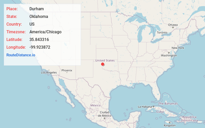
Full AddressDurham, OK 73642
-
Coordinates35.8433164, -99.9238716
-
LocationDurham , Oklahoma , US
-
TimezoneAmerica/Chicago
-
Current Local Time4:34:11 PM America/ChicagoThursday, May 22, 2025
-
Page Views0
About Durham
Durham is a rural unincorporated community in Roger Mills County, Oklahoma, United States. It lies along State Highway 30, four miles south of the Antelope Hills and the Canadian River. The Oklahoma-Texas border is four miles to the west.
The post office opened May 15, 1902.


Nearby Places
Found 10 places within 50 miles

Reydon
13.1 mi
21.1 km
Reydon, OK 73660
Get directions

Allison
19.2 mi
30.9 km
Allison, TX
Get directions
Higgins
19.9 mi
32.0 km
Higgins, TX 79046
Get directions

Cheyenne
21.3 mi
34.3 km
Cheyenne, OK 73628
Get directions
Strong City
21.8 mi
35.1 km
Strong City, OK 73628
Get directions

Arnett
21.8 mi
35.1 km
Arnett, OK
Get directions

Canadian
26.1 mi
42.0 km
Canadian, TX 79014
Get directions
Sweetwater
29.1 mi
46.8 km
Sweetwater, OK 73666
Get directions

Shattuck
30.0 mi
48.3 km
Shattuck, OK 73858
Get directions

Leedey
32.4 mi
52.1 km
Leedey, OK 73654
Get directions
Location Links
Local Weather
Weather Information
Coming soon!
Location Map
Static map view of Durham, Oklahoma
Browse Places by Distance
Places within specific distances from Durham
Short Distances
Long Distances
Click any distance to see all places within that range from Durham. Distances shown in miles (1 mile ≈ 1.61 kilometers).