Distance to Dutchess County, New York

Calculating Your Route
Just a moment while we process your request...
Location Information
-
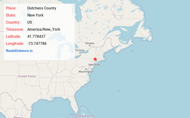
Full AddressDutchess County, NY
-
Coordinates41.7784372, -73.7477857
-
LocationNew York , US
-
TimezoneAmerica/New_York
-
Current Local Time12:58:42 PM America/New_YorkSaturday, June 28, 2025
-
Page Views0
About Dutchess County
Dutchess County is a county in the U.S. state of New York. As of the 2020 census, the population was 295,911. The county seat is the city of Poughkeepsie. The county was created in 1683, one of New York's first twelve counties, and later organized in 1713.


Nearby Places
Found 10 places within 50 miles

Millbrook Heights
2.0 mi
3.2 km
Millbrook Heights, Washington, NY 12545
Get directions
South Millbrook
2.6 mi
4.2 km
South Millbrook, Washington, NY 12545
Get directions

Millbrook
2.8 mi
4.5 km
Millbrook, NY 12545
Get directions
Salt Point
3.1 mi
5.0 km
Salt Point, NY 12578
Get directions
Verbank Village
3.6 mi
5.8 km
Verbank Village, Union Vale, NY 12585
Get directions
Verbank
3.9 mi
6.3 km
Verbank, NY 12585
Get directions
Shunpike
4.0 mi
6.4 km
Shunpike, Washington, NY 12514
Get directions

Pleasant Valley
4.5 mi
7.2 km
Pleasant Valley, NY 12569
Get directions
Mabbettsville
4.6 mi
7.4 km
Mabbettsville, NY 12545
Get directions
Moores Mill
5.1 mi
8.2 km
Moores Mill, LaGrange, NY 12569
Get directions
Location Links
Local Weather
Weather Information
Coming soon!
Location Map
Static map view of Dutchess County, New York
Browse Places by Distance
Places within specific distances from Dutchess County
Short Distances
Long Distances
Click any distance to see all places within that range from Dutchess County. Distances shown in miles (1 mile ≈ 1.61 kilometers).