Distance to Dutton, Virginia

Calculating Your Route
Just a moment while we process your request...
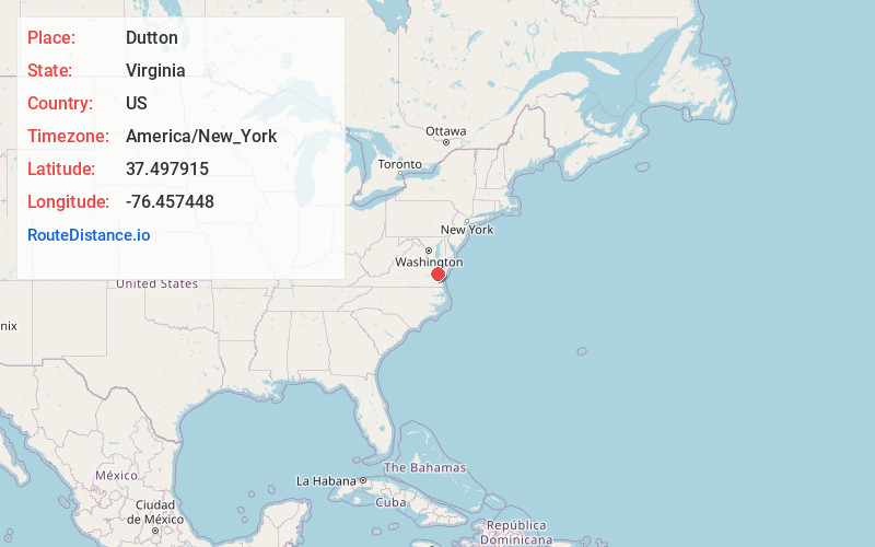
Location Information
-
Full AddressDutton, VA 23050
-
Coordinates37.4979152, -76.4574477
-
LocationDutton , Virginia , US
-
TimezoneAmerica/New_York
-
Current Local Time1:50:22 AM America/New_YorkWednesday, June 18, 2025
-
Page Views0
About Dutton
Dutton is an unincorporated community in Gloucester County, Virginia, United States. Dutton is located on Virginia State Route 198 7 miles north-northeast of Gloucester Courthouse. Dutton has a post office with ZIP code 23050.


Nearby Places
Found 10 places within 50 miles

Hornets Nest
3.7 mi
6.0 km
Hornets Nest, VA 23061
Get directions
Piankatank Shores
3.9 mi
6.3 km
Piankatank Shores, VA 23071
Get directions
Wilton
4.5 mi
7.2 km
Wilton, VA 23176
Get directions
Syringa
5.6 mi
9.0 km
Syringa, VA 23169
Get directions
Hallieford
6.4 mi
10.3 km
Hallieford, VA 23068
Get directions
Cardinal
6.8 mi
10.9 km
Cardinal, VA 23025
Get directions
Ruark
7.1 mi
11.4 km
Ruark, Deltaville, VA 23043
Get directions

Deltaville
7.5 mi
12.1 km
Deltaville, VA 23043
Get directions
Locust Hill
7.6 mi
12.2 km
Locust Hill, VA 23092
Get directions
Beulah
8.0 mi
12.9 km
Beulah, VA 23061
Get directions
Location Links
Local Weather
Weather Information
Coming soon!
Location Map
Static map view of Dutton, Virginia
Browse Places by Distance
Places within specific distances from Dutton
Short Distances
Long Distances
Click any distance to see all places within that range from Dutton. Distances shown in miles (1 mile ≈ 1.61 kilometers).