Distance to Deltaville, Virginia

Calculating Your Route
Just a moment while we process your request...
Location Information
-
Full AddressDeltaville, VA 23043
-
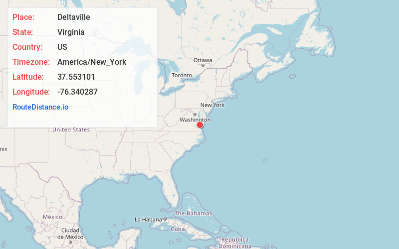
Coordinates37.5531008, -76.3402874
-
LocationDeltaville , Virginia , US
-
TimezoneAmerica/New_York
-
Current Local Time4:44:25 PM America/New_YorkFriday, May 30, 2025
-
Page Views0
About Deltaville
Deltaville is a small unincorporated community and census-designated place on the eastern tip of Middlesex County in the eastern part of the U.S. state of Virginia. It is known for being a vacation spot with sailing, fishing, and other water activities.


Nearby Places
Found 10 places within 50 miles

Mathews
8.1 mi
13.0 km
Mathews, VA 23109
Get directions

Kilmarnock
11.1 mi
17.9 km
Kilmarnock, VA
Get directions

West Point
25.0 mi
40.2 km
West Point, VA 23181
Get directions

Cape Charles
26.5 mi
42.6 km
Cape Charles, VA 23310
Get directions

Williamsburg
27.9 mi
44.9 km
Williamsburg, VA
Get directions

Exmore
28.4 mi
45.7 km
Exmore, VA 23350
Get directions

Poquoson
29.8 mi
48.0 km
Poquoson, VA
Get directions

Bethel Manor
31.7 mi
51.0 km
Bethel Manor, VA 23665
Get directions

Newport News
33.0 mi
53.1 km
Newport News, VA
Get directions

Onancock
34.2 mi
55.0 km
Onancock, VA 23417
Get directions
Location Links
Local Weather
Weather Information
Coming soon!
Location Map
Static map view of Deltaville, Virginia
Browse Places by Distance
Places within specific distances from Deltaville
Short Distances
Long Distances
Click any distance to see all places within that range from Deltaville. Distances shown in miles (1 mile ≈ 1.61 kilometers).