Distance to Mathews, Virginia

Calculating Your Route
Just a moment while we process your request...
Location Information
-
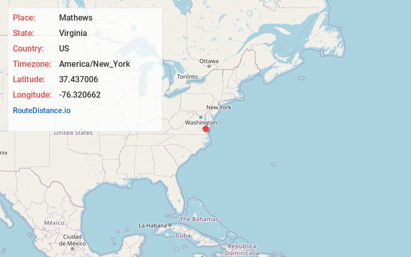
Full AddressMathews, VA 23109
-
Coordinates37.437006, -76.3206618
-
LocationMathews , Virginia , US
-
TimezoneAmerica/New_York
-
Current Local Time3:47:15 AM America/New_YorkTuesday, June 17, 2025
-
Page Views0
About Mathews
Mathews is a census-designated place in and the county seat of Mathews County, Virginia, United States. Established around 1700, the small town of Westville was designated as the county seat in 1791. Today, it is variously known as Mathews Court House, as well as simply "Mathews," its official postal name.


Nearby Places
Found 10 places within 50 miles

Kilmarnock
19.2 mi
30.9 km
Kilmarnock, VA
Get directions

Cape Charles
20.3 mi
32.7 km
Cape Charles, VA 23310
Get directions

Poquoson
21.8 mi
35.1 km
Poquoson, VA
Get directions

Bethel Manor
24.0 mi
38.6 km
Bethel Manor, VA 23665
Get directions

Williamsburg
24.1 mi
38.8 km
Williamsburg, VA
Get directions

Newport News
25.6 mi
41.2 km
Newport News, VA
Get directions

West Point
26.9 mi
43.3 km
West Point, VA 23181
Get directions

Exmore
28.1 mi
45.2 km
Exmore, VA 23350
Get directions

Hampton
28.2 mi
45.4 km
Hampton, VA
Get directions

Smithfield
35.8 mi
57.6 km
Smithfield, VA 23430
Get directions
Location Links
Local Weather
Weather Information
Coming soon!
Location Map
Static map view of Mathews, Virginia
Browse Places by Distance
Places within specific distances from Mathews
Short Distances
Long Distances
Click any distance to see all places within that range from Mathews. Distances shown in miles (1 mile ≈ 1.61 kilometers).