Distance to Kilmarnock, Virginia

Calculating Your Route
Just a moment while we process your request...
Location Information
-
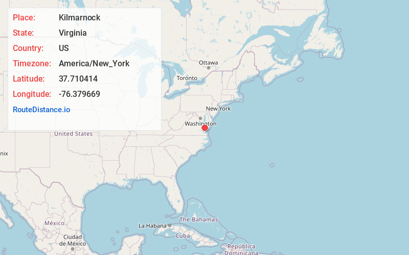
Full AddressKilmarnock, VA
-
Coordinates37.7104135, -76.379669
-
LocationKilmarnock , Virginia , US
-
TimezoneAmerica/New_York
-
Current Local Time10:10:38 AM America/New_YorkWednesday, June 18, 2025
-
Page Views0
About Kilmarnock
Kilmarnock is a town in Lancaster and Northumberland counties in the U.S. Commonwealth of Virginia. The population was 1,445 at the 2020 census. It is located near the mouth of the Rappahannock River and is located within the Northern Neck George Washington Birthplace American Viticultural Area winemaking appellation.


Nearby Places
Found 10 places within 50 miles

West Point
25.9 mi
41.7 km
West Point, VA 23181
Get directions

Warsaw
26.8 mi
43.1 km
Warsaw, VA 22572
Get directions

Tappahannock
30.1 mi
48.4 km
Tappahannock, VA 22560
Get directions

Exmore
32.9 mi
52.9 km
Exmore, VA 23350
Get directions

Crisfield
34.3 mi
55.2 km
Crisfield, MD 21817
Get directions

Onancock
34.5 mi
55.5 km
Onancock, VA 23417
Get directions

Williamsburg
35.1 mi
56.5 km
Williamsburg, VA
Get directions

Poquoson
40.7 mi
65.5 km
Poquoson, VA
Get directions

Central Garage
41.2 mi
66.3 km
Central Garage, VA
Get directions

California
41.4 mi
66.6 km
California, MD
Get directions
Location Links
Local Weather
Weather Information
Coming soon!
Location Map
Static map view of Kilmarnock, Virginia
Browse Places by Distance
Places within specific distances from Kilmarnock
Short Distances
Long Distances
Click any distance to see all places within that range from Kilmarnock. Distances shown in miles (1 mile ≈ 1.61 kilometers).