Distance to Dyer, Indiana

Calculating Your Route
Just a moment while we process your request...
Location Information
-
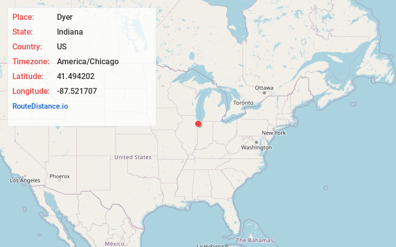
Full AddressDyer, IN
-
Coordinates41.4942021, -87.5217068
-
LocationDyer , Indiana , US
-
TimezoneAmerica/Chicago
-
Current Local Time5:09:19 AM America/ChicagoTuesday, May 20, 2025
-
Website
-
Page Views0
About Dyer
Dyer is a town in St. John Township, Lake County, Indiana, United States. The population was 16,517 at the 2020 census. It is a southeastern suburb of Chicago.


Nearby Places
Found 10 places within 50 miles

Schererville
3.6 mi
5.8 km
Schererville, IN
Get directions

St John
4.1 mi
6.6 km
St John, IN
Get directions

Munster
4.9 mi
7.9 km
Munster, IN 46321
Get directions

Lansing
5.0 mi
8.0 km
Lansing, IL
Get directions

Highland
5.5 mi
8.9 km
Highland, IN
Get directions

Chicago Heights
6.0 mi
9.7 km
Chicago Heights, IL
Get directions

Hammond
6.3 mi
10.1 km
Hammond, IN
Get directions

Park Forest
7.9 mi
12.7 km
Park Forest, IL
Get directions

Calumet City
8.4 mi
13.5 km
Calumet City, IL
Get directions

Homewood
8.5 mi
13.7 km
Homewood, IL 60430
Get directions
Location Links
Local Weather
Weather Information
Coming soon!
Location Map
Static map view of Dyer, Indiana
Browse Places by Distance
Places within specific distances from Dyer
Short Distances
Long Distances
Click any distance to see all places within that range from Dyer. Distances shown in miles (1 mile ≈ 1.61 kilometers).