Distance to Dyess, Arkansas

Calculating Your Route
Just a moment while we process your request...
Location Information
-
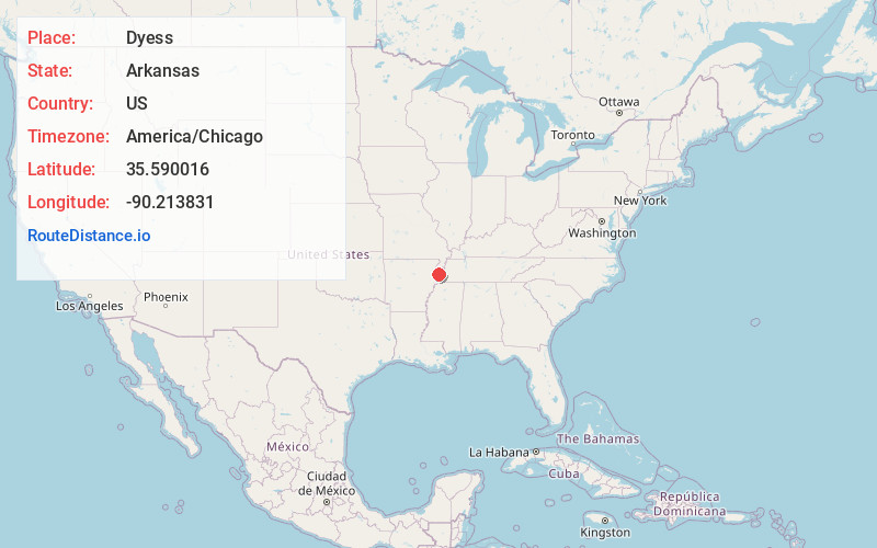
Full AddressDyess, AR 72330
-
Coordinates35.5900164, -90.2138305
-
LocationDyess , Arkansas , US
-
TimezoneAmerica/Chicago
-
Current Local Time4:14:06 PM America/ChicagoWednesday, May 21, 2025
-
Page Views0
About Dyess
Dyess is a town in Mississippi County, Arkansas, United States. Founded as Dyess Colony in 1934 by the Federal Emergency Relief Administration as part of the Roosevelt administration's agricultural ...


Nearby Places
Found 10 places within 50 miles

Joiner
6.7 mi
10.8 km
Joiner, AR 72350
Get directions

Lepanto
6.8 mi
10.9 km
Lepanto, AR
Get directions

Keiser
8.7 mi
14.0 km
Keiser, AR
Get directions

Etowah
9.6 mi
15.4 km
Etowah, AR
Get directions

Wilson
9.7 mi
15.6 km
Wilson, AR 72395
Get directions

Tyronza
10.7 mi
17.2 km
Tyronza, AR 72386
Get directions

Marked Tree
12.3 mi
19.8 km
Marked Tree, AR
Get directions

Caraway
13.1 mi
21.1 km
Caraway, AR
Get directions

Turrell
15.2 mi
24.5 km
Turrell, AR 72384
Get directions

Osceola
15.8 mi
25.4 km
Osceola, AR 72370
Get directions
Location Links
Local Weather
Weather Information
Coming soon!
Location Map
Static map view of Dyess, Arkansas
Browse Places by Distance
Places within specific distances from Dyess
Short Distances
Long Distances
Click any distance to see all places within that range from Dyess. Distances shown in miles (1 mile ≈ 1.61 kilometers).