Distance to Eagle Center, Iowa

Calculating Your Route
Just a moment while we process your request...
Location Information
-
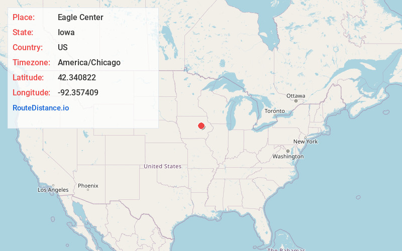
Full AddressEagle Center, IA 50701
-
Coordinates42.3408222, -92.3574094
-
LocationIowa , US
-
TimezoneAmerica/Chicago
-
Current Local Time1:12:24 AM America/ChicagoMonday, June 23, 2025
-
Page Views0
About Eagle Center
Eagle Center is an unincorporated community in Black Hawk County, Iowa, United States. Eagle Center is located at the junction of County Highways D46 and V27, 10.5 miles south of Waterloo.
Nearby Places
Found 10 places within 50 miles

Washburn
6.7 mi
10.8 km
Washburn, IA
Get directions
Hudson
6.8 mi
10.9 km
Hudson, IA
Get directions

La Porte City
8.6 mi
13.8 km
La Porte City, IA 50651
Get directions
Gilbertville
8.9 mi
14.3 km
Gilbertville, IA
Get directions

Evansdale
9.7 mi
15.6 km
Evansdale, IA 50707
Get directions

Elk Run Heights
10.1 mi
16.3 km
Elk Run Heights, IA
Get directions

Waterloo
10.5 mi
16.9 km
Waterloo, IA
Get directions
Raymond
11.3 mi
18.2 km
Raymond, IA
Get directions

Traer
11.6 mi
18.7 km
Traer, IA 50675
Get directions
Dysart
12.0 mi
19.3 km
Dysart, IA 52224
Get directions
Location Links
Local Weather
Weather Information
Coming soon!
Location Map
Static map view of Eagle Center, Iowa
Browse Places by Distance
Places within specific distances from Eagle Center
Short Distances
Long Distances
Click any distance to see all places within that range from Eagle Center. Distances shown in miles (1 mile ≈ 1.61 kilometers).