Distance to Elk Run Heights, Iowa

Calculating Your Route
Just a moment while we process your request...
Location Information
-
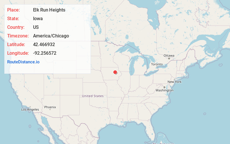
Full AddressElk Run Heights, IA
-
Coordinates42.4669324, -92.256572
-
LocationElk Run Heights , Iowa , US
-
TimezoneAmerica/Chicago
-
Current Local Time2:04:57 PM America/ChicagoSaturday, June 21, 2025
-
Page Views0
About Elk Run Heights
Elk Run Heights is a city in Black Hawk County, Iowa, United States. The population was 1,069 at the 2020 census. It is part of the Waterloo–Cedar Falls Metropolitan Statistical Area.

Nearby Places
Found 10 places within 50 miles

Evansdale
1.3 mi
2.1 km
Evansdale, IA 50707
Get directions

Waterloo
4.7 mi
7.6 km
Waterloo, IA
Get directions

Dunkerton
8.6 mi
13.8 km
Dunkerton, IA 50626
Get directions

Jesup
9.8 mi
15.8 km
Jesup, IA 50648
Get directions

Cedar Falls
10.7 mi
17.2 km
Cedar Falls, IA
Get directions
Hudson
11.0 mi
17.7 km
Hudson, IA
Get directions

La Porte City
11.0 mi
17.7 km
La Porte City, IA 50651
Get directions
Denver
14.7 mi
23.7 km
Denver, IA 50622
Get directions

Fairbank
16.0 mi
25.7 km
Fairbank, IA 50629
Get directions
Janesville
16.0 mi
25.7 km
Janesville, IA 50647
Get directions
Location Links
Local Weather
Weather Information
Coming soon!
Location Map
Static map view of Elk Run Heights, Iowa
Browse Places by Distance
Places within specific distances from Elk Run Heights
Short Distances
Long Distances
Click any distance to see all places within that range from Elk Run Heights. Distances shown in miles (1 mile ≈ 1.61 kilometers).