Distance to Eagle Creek, Oregon

Calculating Your Route
Just a moment while we process your request...
Location Information
-
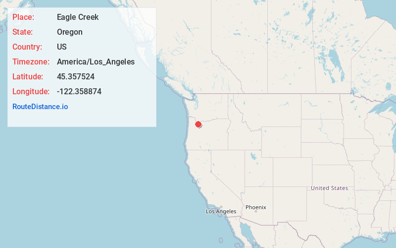
Full AddressEagle Creek, OR
-
Coordinates45.3575239, -122.3588744
-
LocationEagle Creek , Oregon , US
-
TimezoneAmerica/Los_Angeles
-
Current Local Time9:07:01 PM America/Los_AngelesSaturday, June 21, 2025
-
Page Views0
About Eagle Creek
Eagle Creek is an unincorporated community in Clackamas County, Oregon, United States. It is located seven miles southwest of Sandy, seven miles north of Estacada, and five miles southeast of Carver, at the junction of Oregon Routes 224 and 211, on the Clackamas River.


Nearby Places
Found 10 places within 50 miles

Logan
3.3 mi
5.3 km
Logan, OR 97023
Get directions

Estacada
5.0 mi
8.0 km
Estacada, OR
Get directions

Boring
5.2 mi
8.4 km
Boring, OR
Get directions

Sandy
5.4 mi
8.7 km
Sandy, OR
Get directions
Richardson Creek
6.0 mi
9.7 km
Richardson Creek, Damascus, OR 97089
Get directions

Damascus
6.4 mi
10.3 km
Damascus, OR
Get directions
Firwood
6.7 mi
10.8 km
Firwood, OR 97055
Get directions

Orient
7.6 mi
12.2 km
Orient, OR 97080
Get directions

Happy Valley
9.4 mi
15.1 km
Happy Valley, OR
Get directions

Beavercreek
9.8 mi
15.8 km
Beavercreek, OR
Get directions
Location Links
Local Weather
Weather Information
Coming soon!
Location Map
Static map view of Eagle Creek, Oregon
Browse Places by Distance
Places within specific distances from Eagle Creek
Short Distances
Long Distances
Click any distance to see all places within that range from Eagle Creek. Distances shown in miles (1 mile ≈ 1.61 kilometers).