Distance to Eagle Nest, New Mexico

Calculating Your Route
Just a moment while we process your request...
Location Information
-
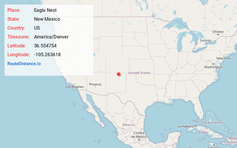
Full AddressEagle Nest, NM
-
Coordinates36.554754, -105.2636179
-
LocationEagle Nest , New Mexico , US
-
TimezoneAmerica/Denver
-
Current Local Time11:46:11 AM America/DenverTuesday, June 24, 2025
-
Page Views0
About Eagle Nest
Eagle Nest is a village in Colfax County, New Mexico. The population was 290 at the time of the 2010 census. Located along the Enchanted Circle Scenic Byway, Eagle Nest is a small summer-home and resort destination. Originally named Therma, the village was renamed Eagle Nest in the 1930s.


Nearby Places
Found 10 places within 50 miles

Angel Fire
11.2 mi
18.0 km
Angel Fire, NM
Get directions

Red River
13.2 mi
21.2 km
Red River, NM
Get directions

Arroyo Seco
17.2 mi
27.7 km
Arroyo Seco, NM
Get directions

Taos Pueblo
17.5 mi
28.2 km
Taos Pueblo, NM
Get directions

Cimarron
19.5 mi
31.4 km
Cimarron, NM 87714
Get directions

Ranchos De Taos
23.5 mi
37.8 km
Ranchos De Taos, NM
Get directions

Black Rock Hot Springs
25.0 mi
40.2 km
Black Rock Hot Springs, New Mexico 87529
Get directions

Costilla
32.6 mi
52.5 km
Costilla, NM
Get directions

Rio Lucio
35.7 mi
57.5 km
Rio Lucio, NM 87553
Get directions
Chamisal
37.7 mi
60.7 km
Chamisal, NM
Get directions
Location Links
Local Weather
Weather Information
Coming soon!
Location Map
Static map view of Eagle Nest, New Mexico
Browse Places by Distance
Places within specific distances from Eagle Nest
Short Distances
Long Distances
Click any distance to see all places within that range from Eagle Nest. Distances shown in miles (1 mile ≈ 1.61 kilometers).