Distance to Eagle Tree, California

Calculating Your Route
Just a moment while we process your request...
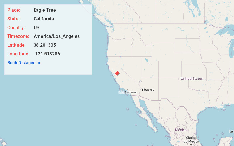
Location Information
-
Full AddressEagle Tree, CA 95242
-
Coordinates38.2013051, -121.5132861
-
LocationEagle Tree , California , US
-
TimezoneAmerica/Los_Angeles
-
Current Local Time10:39:18 PM America/Los_AngelesThursday, June 19, 2025
-
Page Views0
Nearby Places
Found 10 places within 50 miles

Walnut Grove
2.9 mi
4.7 km
Walnut Grove, CA
Get directions

Walker Landing
5.1 mi
8.2 km
Walker Landing, CA 95690
Get directions
Howard Landing
5.1 mi
8.2 km
Howard Landing, CA 95690
Get directions

Thornton
5.1 mi
8.2 km
Thornton, CA
Get directions
Mokelumne City
5.4 mi
8.7 km
Mokelumne City, CA 95632
Get directions

Isleton
6.0 mi
9.7 km
Isleton, CA 95641
Get directions
Villinger
8.6 mi
13.8 km
Villinger, CA 95242
Get directions
Paintersville
8.9 mi
14.3 km
Paintersville, CA 95615
Get directions
Point Pleasant
9.4 mi
15.1 km
Point Pleasant, CA 95757
Get directions

Courtland
9.5 mi
15.3 km
Courtland, CA 95615
Get directions
Location Links
Local Weather
Weather Information
Coming soon!
Location Map
Static map view of Eagle Tree, California
Browse Places by Distance
Places within specific distances from Eagle Tree
Short Distances
Long Distances
Click any distance to see all places within that range from Eagle Tree. Distances shown in miles (1 mile ≈ 1.61 kilometers).