Distance to East Krotz Springs, Louisiana

Calculating Your Route
Just a moment while we process your request...
Location Information
-
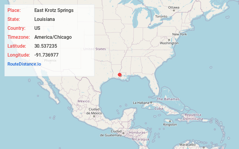
Full AddressEast Krotz Springs, LA 70750
-
Coordinates30.537235, -91.736977
-
LocationEast Krotz Springs , Louisiana , US
-
TimezoneAmerica/Chicago
-
Current Local Time5:59:24 AM America/ChicagoTuesday, June 3, 2025
-
Page Views0
About East Krotz Springs
East Krotz Springs is a ghost town that was located in Pointe Coupee Parish's 1st Ward, approximately 12 miles west of Livonia, Louisiana, United States. The site of the town itself is located at coordinates 30°32'12.87"N, 91°44'24.59"W, and is abandoned.
Nearby Places
Found 10 places within 50 miles

Krotz Springs
0.8 mi
1.3 km
Krotz Springs, LA 70750
Get directions

Sherburne
1.9 mi
3.1 km
Sherburne, LA 70750
Get directions

Lottie
5.8 mi
9.3 km
Lottie, LA 70756
Get directions
Blanks
8.2 mi
13.2 km
Blanks, LA 70756
Get directions

Fordoche
8.2 mi
13.2 km
Fordoche, LA 70732
Get directions
Courtableau
8.6 mi
13.8 km
Courtableau, LA 70577
Get directions
Swayze Lake
8.9 mi
14.3 km
Swayze Lake, LA 71353
Get directions
Quick
9.5 mi
15.3 km
Quick, LA 70755
Get directions

Pointe Coupee Parish
9.7 mi
15.6 km
Pointe Coupee Parish, LA
Get directions
Darbonne
9.7 mi
15.6 km
Darbonne, LA 71358
Get directions
Location Links
Local Weather
Weather Information
Coming soon!
Location Map
Static map view of East Krotz Springs, Louisiana
Browse Places by Distance
Places within specific distances from East Krotz Springs
Short Distances
Long Distances
Click any distance to see all places within that range from East Krotz Springs. Distances shown in miles (1 mile ≈ 1.61 kilometers).