Distance to East Matunuck State Beach, Rhode Island

Calculating Your Route
Just a moment while we process your request...
Location Information
-
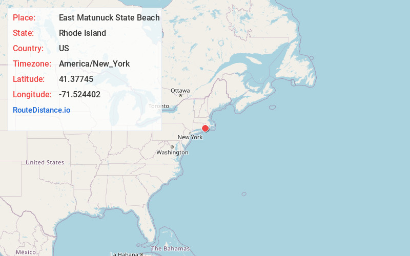
Full AddressEast Matunuck State Beach, 950 Succotash Rd, South Kingstown, RI 02879
-
Coordinates41.3774502, -71.5244021
-
Street950 Succotash Rd
-
LocationSouth Kingstown , Rhode Island , US
-
TimezoneAmerica/New_York
-
Current Local Time1:01:02 AM America/New_YorkSunday, June 1, 2025
-
Page Views0
About East Matunuck State Beach
Vast sandy beach with picnic areas provides plenty of opportunities for family-friendly activities.


Nearby Places
Found 10 places within 50 miles

Perryville
2.5 mi
4.0 km
Perryville, South Kingstown, RI 02879
Get directions
Tuckertown
3.8 mi
6.1 km
Tuckertown, South Kingstown, RI 02879
Get directions

South Kingstown
4.5 mi
7.2 km
South Kingstown, RI
Get directions

Charlestown
6.1 mi
9.8 km
Charlestown, RI
Get directions

Narragansett
6.3 mi
10.1 km
Narragansett, RI
Get directions
Columbia Heights
7.4 mi
11.9 km
Columbia Heights, Charlestown, RI 02813
Get directions
Indian Lake Shores
7.5 mi
12.1 km
Indian Lake Shores, South Kingstown, RI 02879
Get directions
Mooresfield
8.0 mi
12.9 km
Mooresfield, South Kingstown, RI 02879
Get directions

Bonnet Shores Beach
8.3 mi
13.4 km
Bonnet Shores Beach, Narragansett, RI 02882
Get directions
Bridgetown
8.6 mi
13.8 km
Bridgetown, Narragansett, RI 02882
Get directions
Location Links
Local Weather
Weather Information
Coming soon!
Location Map
Static map view of East Matunuck State Beach, Rhode Island
Browse Places by Distance
Places within specific distances from East Matunuck State Beach
Short Distances
Long Distances
Click any distance to see all places within that range from East Matunuck State Beach. Distances shown in miles (1 mile ≈ 1.61 kilometers).