Distance to Eaton Park, Florida

Calculating Your Route
Just a moment while we process your request...
Location Information
-
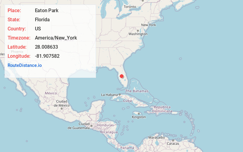
Full AddressEaton Park, FL 33803
-
Coordinates28.0086334, -81.9075818
-
LocationEaton Park , Florida , US
-
TimezoneAmerica/New_York
-
Current Local Time11:16:37 PM America/New_YorkTuesday, June 17, 2025
-
Page Views0
About Eaton Park
Eaton Park is an unincorporated community in Polk County, Florida, United States. Eaton Park is located on U.S. Route 98, 3.3 miles southeast of Lakeland, and also serves as the southern terminus of Florida State Road 659. Eaton Park has a post office with ZIP code 33840.

Nearby Places
Found 10 places within 50 miles

Crystal Lake
1.9 mi
3.1 km
Crystal Lake, FL 33801
Get directions

Combee Settlement
3.4 mi
5.5 km
Combee Settlement, FL 33801
Get directions

Highland City
3.5 mi
5.6 km
Highland City, FL
Get directions

Lakeland
3.6 mi
5.8 km
Lakeland, FL
Get directions

Fussels Corner
4.3 mi
6.9 km
Fussels Corner, FL
Get directions

Lakeland Highlands
4.3 mi
6.9 km
Lakeland Highlands, FL 33813
Get directions

Medulla
4.9 mi
7.9 km
Medulla, FL
Get directions
Jan Phyl Village
7.0 mi
11.3 km
Jan Phyl Village, FL 33880
Get directions

Auburndale
8.2 mi
13.2 km
Auburndale, FL
Get directions
Galloway
8.6 mi
13.8 km
Galloway, FL 33810
Get directions
Location Links
Local Weather
Weather Information
Coming soon!
Location Map
Static map view of Eaton Park, Florida
Browse Places by Distance
Places within specific distances from Eaton Park
Short Distances
Long Distances
Click any distance to see all places within that range from Eaton Park. Distances shown in miles (1 mile ≈ 1.61 kilometers).