Distance to Ebenezer, Missouri

Calculating Your Route
Just a moment while we process your request...
Location Information
-
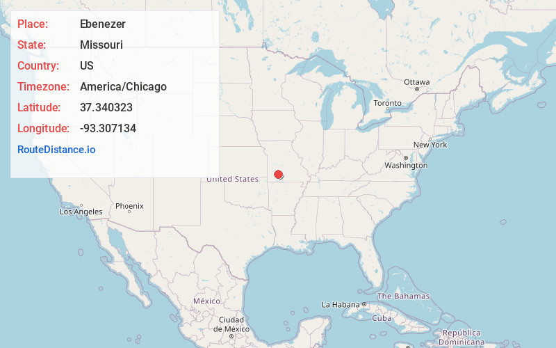
Full AddressEbenezer, Robberson No. 2 Township, MO 65803
-
Coordinates37.340323, -93.3071343
-
LocationRobberson No. 2 Township , Missouri , US
-
TimezoneAmerica/Chicago
-
Current Local Time4:41:27 AM America/ChicagoMonday, June 2, 2025
-
Page Views0
About Ebenezer
Ebenezer is an unincorporated community in Greene County, Missouri, United States. It lies two miles north of McDaniel Lake north of Springfield and 1.25 miles east of Route 13. The community is at the head of the King Branch of the North Dry Sac River.

Nearby Places
Found 10 places within 50 miles

Glidewell
2.7 mi
4.3 km
Glidewell, Robberson No. 2 Township, MO 65803
Get directions
Valley Water Mills
6.1 mi
9.8 km
Valley Water Mills, Springfield, MO 65803
Get directions
Ritter
6.8 mi
10.9 km
Ritter, North Campbell No. 3B Township, MO 65803
Get directions

Willard
7.1 mi
11.4 km
Willard, MO
Get directions
Sacville
7.7 mi
12.4 km
Sacville, Cass Township, MO 65781
Get directions

Brighton
8.4 mi
13.5 km
Brighton, MO 65617
Get directions

Pleasant Hope
8.7 mi
14.0 km
Pleasant Hope, MO
Get directions
Goodnight
8.8 mi
14.2 km
Goodnight, MO
Get directions
Nichols
9.0 mi
14.5 km
Nichols, Springfield, MO 65803
Get directions

Fair Grove
9.1 mi
14.6 km
Fair Grove, MO 65648
Get directions
Location Links
Local Weather
Weather Information
Coming soon!
Location Map
Static map view of Ebenezer, Missouri
Browse Places by Distance
Places within specific distances from Ebenezer
Short Distances
Long Distances
Click any distance to see all places within that range from Ebenezer. Distances shown in miles (1 mile ≈ 1.61 kilometers).