Distance to Ebeys Landing, Washington

Calculating Your Route
Just a moment while we process your request...
Location Information
-
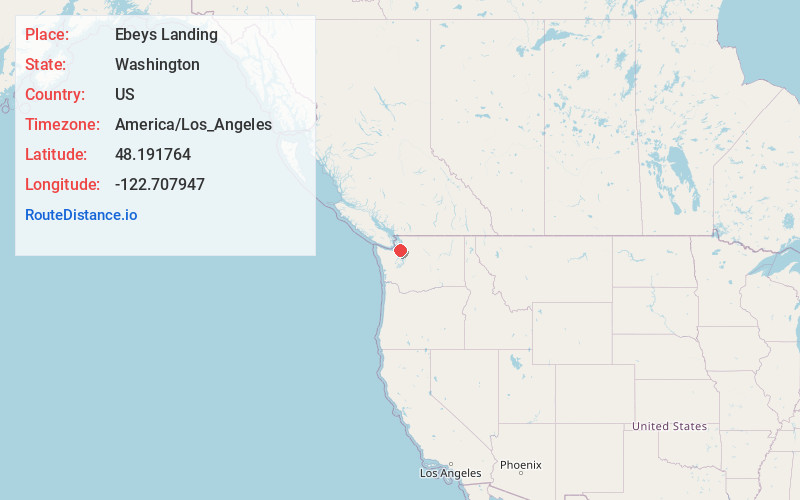
Full AddressEbeys Landing, WA 98239
-
Coordinates48.1917641, -122.7079472
-
LocationEbeys Landing , Washington , US
-
TimezoneAmerica/Los_Angeles
-
Current Local Time7:36:36 AM America/Los_AngelesMonday, June 23, 2025
-
Page Views0


Nearby Places
Found 10 places within 50 miles

Coupeville
2.2 mi
3.5 km
Coupeville, WA 98239
Get directions

Fort Casey
2.4 mi
3.9 km
Fort Casey, WA 98239
Get directions

San de Fuca
3.2 mi
5.1 km
San de Fuca, WA 98277
Get directions
Rodena Beach
4.0 mi
6.4 km
Rodena Beach, WA 98239
Get directions

Keystone
4.1 mi
6.6 km
Keystone, WA 98239
Get directions

Port Townsend
5.7 mi
9.2 km
Port Townsend, WA
Get directions

Oak Harbor
7.2 mi
11.6 km
Oak Harbor, WA 98277
Get directions
Swantown
7.8 mi
12.6 km
Swantown, WA 98277
Get directions

Marrowstone Island
7.9 mi
12.7 km
Marrowstone Island, Marrowstone, WA 98358
Get directions
Glen Cove
8.3 mi
13.4 km
Glen Cove, WA 98368
Get directions
Location Links
Local Weather
Weather Information
Coming soon!
Location Map
Static map view of Ebeys Landing, Washington
Browse Places by Distance
Places within specific distances from Ebeys Landing
Short Distances
Long Distances
Click any distance to see all places within that range from Ebeys Landing. Distances shown in miles (1 mile ≈ 1.61 kilometers).