Distance to Eckert, Texas

Calculating Your Route
Just a moment while we process your request...
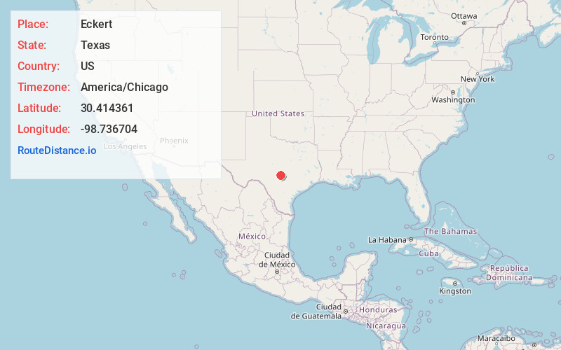
Location Information
-
Full AddressEckert, TX 78675
-
Coordinates30.4143612, -98.7367041
-
LocationTexas , US
-
TimezoneAmerica/Chicago
-
Current Local Time5:03:38 AM America/ChicagoSunday, June 15, 2025
-
Page Views0
About Eckert
Eckert is a ghost town, 11.5 miles northeast of Fredericksburg in Gillespie County, in the U.S. state of Texas. West of Willow City, on FM 1323, Eckert is at the junction of State Highway 16.
White settlers came to the area in 1875 and built Mount Zion, a log church.
Nearby Places
Found 10 places within 50 miles

Fredericksburg
12.6 mi
20.3 km
Fredericksburg, TX 78624
Get directions

Stonewall
13.1 mi
21.1 km
Stonewall, TX
Get directions

Hye
15.5 mi
24.9 km
Hye, TX 78635
Get directions

Sandy
16.4 mi
26.4 km
Sandy, TX 78636
Get directions
Loyal Valley
19.6 mi
31.5 km
Loyal Valley, TX 76856
Get directions
Bankersmith
20.6 mi
33.2 km
Bankersmith, TX 78624
Get directions

Johnson City
21.6 mi
34.8 km
Johnson City, TX 78636
Get directions

Sunrise Beach Village
23.3 mi
37.5 km
Sunrise Beach Village, TX 78643
Get directions

Round Mountain
23.4 mi
37.7 km
Round Mountain, TX 78663
Get directions

Castell
23.7 mi
38.1 km
Castell, TX 76831
Get directions
Location Links
Local Weather
Weather Information
Coming soon!
Location Map
Static map view of Eckert, Texas
Browse Places by Distance
Places within specific distances from Eckert
Short Distances
Long Distances
Click any distance to see all places within that range from Eckert. Distances shown in miles (1 mile ≈ 1.61 kilometers).